What is recorded here
In pasture, on gentle S-facing slope. Depicted as hachured bank (C c. 35m) NW->SE on 1905 and 1937 OS 6-inch maps. Arc visible as upstanding bank in aerial photograph (GSIAP, R527, July 1975) and as cropmark of two wide banks separated by intervening fosse in second aerial photograph (CASAP). According to local information, levelled in 1983. Rock outcrop (H 1m) at NW, formed part of bank.
The above description is derived from the published 'Archaeological Inventory of County Cork. Volume 4: North Cork' (Dublin: Stationery Office, 2000). In certain instances the entries have been revised and updated in the light of recent research.
Date of upload/revision: 14 January 2009
The monument record does not grant public access. Check the route and ask the landowner before entering private land.
- What survives
- Recorded monument
Places near here
 Enclosure in Grange East (orrery and Kilmore By.)Enclosure · 373 yd
 Enclosure in Boherascrub EastEnclosure · 542 yd
 IndicatedKiln, lime · 1133 yd
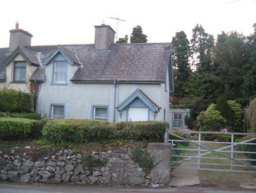 Knockbarry Cottageshouse · 1506 yd
 Charles BunworthMemorial · 1.0 mi
 Lombards CastleCastle, tower house · 1.2 mi
 SycamoreSycamore · 1.4 mi
 David HurleyMemorial · 1.4 mi
 Bawn of Kilmaclenine (in Ruins)House, fortified house · 1.7 mi
 Lady's WellSpring · 2.7 mi
 Smith's WellSpring · 4.3 mi
 Doneraile HouseHeritage attraction · 4.5 mi