What is recorded here
In pasture, 260m SW of the summit of Knockanebrack Hill (535 ft./163m). Depicted on the 1840 ed. OSi 6-inch map as a circular-shaped platform. Shown on the 1897 ed. OSi 25-inch map as a raised sub-circular-shaped area (dims. c. 36m NW-SE; 30m NE-SW) defined by a scarp. Surveyed by the ASI in 1999 and described as a raised circular-shaped area (diam. 31m) defined by a scarp (Wth 1.2m; H 0.4m) from NW-E-S-W. Interior slopes to SE. Outline of overgrown monument is visible on Google Earth orthoimages with small quarry and well 15m to NW. This well and quarry is depicted on 1897 ed. OSi 25-inch map.
See attached Google Earth orthoimages.
Compiled by: Martin Fitzpatrick
Date of upload: 4 October 2021
The monument record does not grant public access. Check the route and ask the landowner before entering private land.
- What survives
- Recorded monument
Places near here
 Knockanebrack HillMountain / peak · 293 yd
 Dungrot Bridgebridge · 1096 yd
 Site of Dungrot CastleCastle, unclassified · 1172 yd
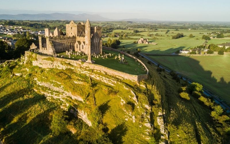 IndicatedFairy fort / earthen ringfort · 1378 yd
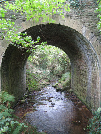 Longford Bridgebridge · 1390 yd
 CairnCairn, unclassified · 1413 yd
 CurraghMountain / peak · 1.3 mi
 Giant's Rock - Rock of AglaishNamed rock · 1.6 mi
 Noel's NippleNamed rock · 2.2 mi
 Ballynacourty HouseCastle, unclassified · 2.3 mi
 Assaroula WaterfallWaterfall · 2.3 mi
 Lough CurraWalking route · 2.4 mi