What is recorded here
Cropmark of circular-shaped earthwork (approx. diam. 46m) visible on Digital Globe aerial imagery.
See attached image taken from Google Earth aerial photographs taken 17/01/2020
Compiled by: Caimin O'Brien based on details provided by Jean-Charles Caillère
Date of upload: 15 April 2020
The monument record does not grant public access. Check the route and ask the landowner before entering private land.
- What survives
- Recorded monument
Places near here
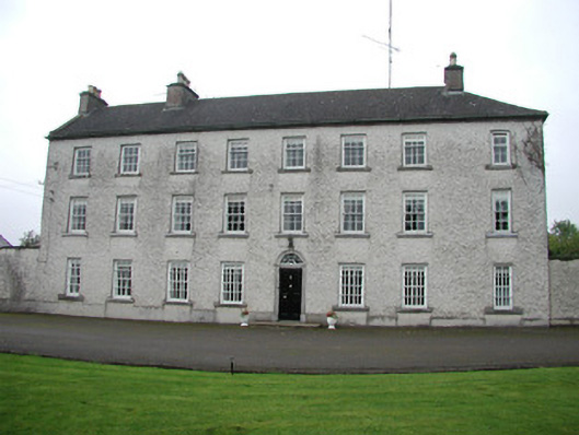 Monasteroriscountry house · 705 yd
 Monastery in ruinsCastle, unclassified · 762 yd
 Pigeon House (in Ruins)Castle, motte · 767 yd
 Mill MountMill, unclassified · 806 yd
 Font in MonasterorisFont · 940 yd
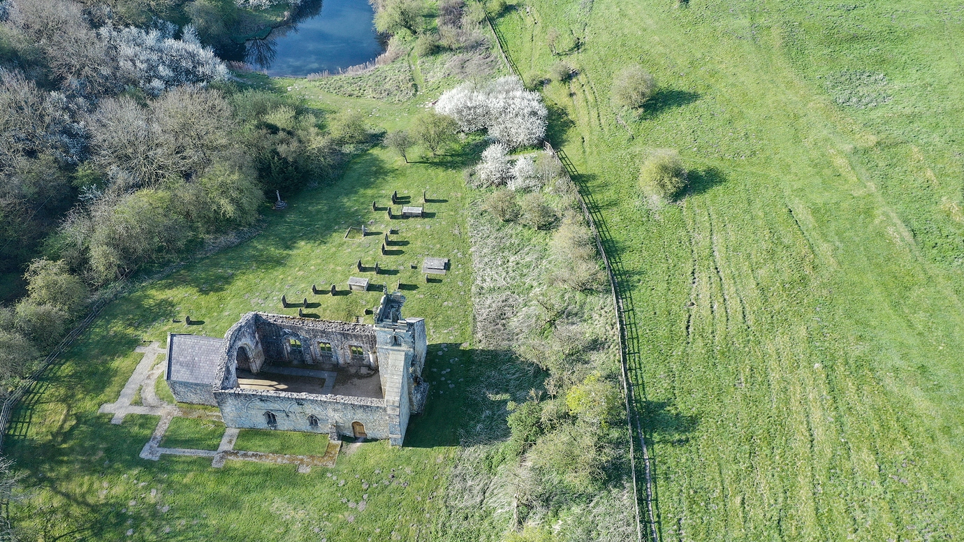 Settlement desertedSettlement deserted, medieval · 1063 yd
 Roundhill WoodForest · 2.6 mi
 Bow WoodWood · 2.7 mi
 Moat HillMountain / peak · 5.5 mi
 Sli na Slainte - mapVisitor information · 6.5 mi
 Allen family memorial headstoneMemorial · 7.7 mi
 The Fairy BowerHeritage attraction · 7.7 mi