What is recorded here
On a slight SW-facing slope, in meadow, overlooking the Kilteel complex (KD020-006----, KD020-006001-, KD020-006002- and KD020-007002- to KD020-007012-) across the road to the SE. Visible on aerial photos taken in 1963 (CUCAP AIG064) and 1966 (CUCAP APA056 and API002) and indicated on Manning's interpretative tracing of same included in his Kilteel Church (KD020-007002-) excavation report (1982, 219). Visible as a broad, low, earthen bank (Wth 9-11m; H 0.2-0.3m; traceable L c. 46m NE-SW), with no obvious trace of an associated fosse. May be associated with the preceptory earthworks (KD020-007003-), or, is possibly a continuation of the Pale Boundary (KD020-008----) which runs S and then W to the S of this site.
Compiled by: Gearóid Conroy
Date of upload: 17 January 2012
The monument record does not grant public access. Check the route and ask the landowner before entering private land.
- What survives
- Recorded monument
Places near here
 Stone CrossCross, High cross · 156 yd
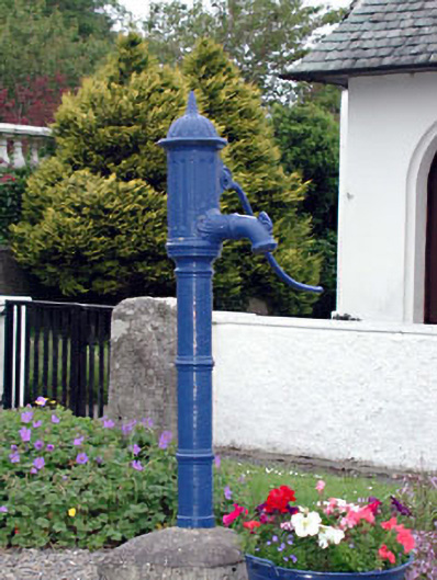 water pumpwater pump · 216 yd
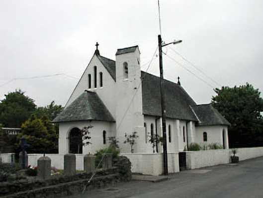 Catholic Church of Saint Laurence O'Toolechurch/chapel · 241 yd
 Kilteel CastleCastle, tower house · 242 yd
 Ecclesiastical enclosure in Kilteel UpperEcclesiastical enclosure · 324 yd
 Kilteel WoodWood · 396 yd
 Cupidstown HillMountain / peak · 1.4 mi
 Rathmore MoatCastle, motte and bailey · 2.0 mi
 Saggart HillMountain / peak · 2.2 mi
 Rock WoodForest · 3.5 mi
 Inniscara GalleryGallery · 3.9 mi
 The Square RenewalMemorial · 4.4 mi