What is recorded here
Marked only on the 1914 ed. of the OS 6-inch map as a small mound (diam. c. 10m), and situated on a gentle NE-facing slope. It is not visbible at ground level in pasture.
Compiled by: Michael Moore
Date of upload: 24 August 2010
The monument record does not grant public access. Check the route and ask the landowner before entering private land.
- What survives
- Recorded monument
Places near here
 ChapelChurch · 1.2 mi
 FerrinchIslet · 1.3 mi
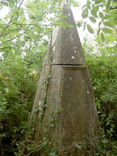 monumentmonument · 1.4 mi
 Ballyclare IslandIslet · 1.6 mi
 Rathcline CastleBawn · 1.9 mi
 IndicatedEnclosure · 1.9 mi
 Cross in Glebe (rathcline By., Rathcline Ed)Cross · 2.0 mi
 Wild birdsVisitor information · 2.1 mi
 White Sand WoodWood · 2.1 mi
 Commons North WalkVisitor information · 2.2 mi
 Slieve BawnMountain / peak · 4.1 mi
 CastleCastle, unclassified · 4.6 mi