What is recorded here
On the bank of the River Suir, with the NW-SE stream c. 10m to the E. The manor of Kilmeadan was the property of John Fitzthomas Fitzgerald in 1282. By the early 14th century it had passed into Le Poer hands, and John, the son of Benedict le Poer was styled Lord of Rathgormuck and Kilmeadan in 1328. Le Poer continued to be so styled into the fifteenth century. In the Civil Survey (Simington 1942, 138) Kilmeadan is a manor owned by John Power of Dunhill (WA025-045001-) in 1640.
The ‘Castle’ indicated on the 1st ed. OS 6-inch map are the remains a large stone house (WA008-049----), dating to the early/mid-17th century which was reputedly built on the site of an earlier castle (WA008-049001-). The castle is not visible at ground level.
The castle, overlooking the Suir, is located at the E end of a roughly rectangular area (dims. c. 200m NE-SW; c. 110m NW-SE), identified and reported by Simon Dowling. The land skirting the N side of this area is indicated on the 1st ed. OS 6-inch map as very rough, possibly waterlogged terrain, while the S is defined by Whelan’s bridge River which flows into the Suir at this point. Photogrammetric modelling has revealed sub-divisions within this rectangular area which are likely to be associated with the castle and subsequent 17th house.
The SW portion of the rectangular area has been truncated by the Great Southern Fishguard-Rosslare Railway Line which curves southward at this point to run parallel with the Suir.
See attached imagery:
WA008-049002-_01 Photogrammetric model by Simon Dowling
WA008-049002-_02 Photogrammetric model by Simon Dowling
Compiled by: Jean Farrelly
Date of upload: 1 November 2022
The monument record does not grant public access. Check the route and ask the landowner before entering private land.
- What survives
- Recorded monument
Places near here
 CastleCastle, unclassified · 78 yd
 Sargent's magnoliaSargent's magnolia · 441 yd
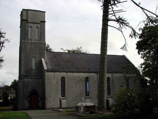 Saint Mary's Church (Kilmeadan)church/chapel · 933 yd
 Site of ChurchChurch · 934 yd
 The Cosy Thatchhouse · 957 yd
 Sweet micheliaSweet michelia · 1024 yd
 Waterford & Suir Valley RailwayHeritage attraction · 1084 yd
 Settlement desertedSettlement deserted, medieval · 1086 yd
 Mount Congreve GardensHeritage attraction · 1577 yd
 Site of CastleCastle, unclassified · 1.4 mi
 Donnell's HillMountain / peak · 4.5 mi
 Garrarus StrandBeach / strand · 7.8 mi