What is recorded here
Kilmanagh is associated with an early medieval monastery founded by St Natal (Carrigan 1905, vol. 429) with a medieval church (KK018-06601-) roughly centrally placed within the village. According to a local source the field immediately SE of the medieval church and graveyard is locally known as the site of the old village. O’Kelly (1985, 17) mentions that one of the fields in Kilmanagh is known as, ‘Clais an bhaile, the village trench, now filled up’, which possibly relates to a settlement boundary associated with the medieval borough (KK018-066----). There is no visible trace of earthworks above ground.
Compiled by: Jean Farrelly
Date of upload: 31 March 2021
This remains an important historical record, but the official description says the monument is no longer visible or has been destroyed. The monument record does not grant public access. Check the route and ask the landowner before entering private land.
- What survives
- No visible remains or recorded as destroyed
Places near here
 Saint Aidan's Church (Kilmanagh)church/chapel · 50 yd
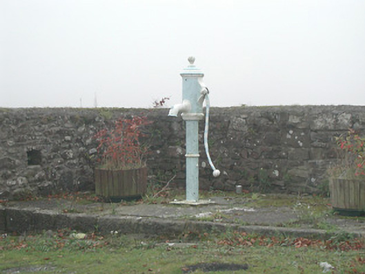 water pumpwater pump · 101 yd
 IndicatedEnclosure · 616 yd
 ToberaniddaunHoly well · 630 yd
 Castle (in ruins)Castle, unclassified · 1144 yd
 CastleCastle, unclassified · 1758 yd
 Ballykeefe AmphitheatreHeritage attraction · 1.4 mi
 Ballykeefe QuarryCliff · 1.4 mi
 Ballykeefe WoodForest · 1.6 mi
 Ballykeeffe Mass RockNamed rock · 1.6 mi
 Killeen Fox CovertForest · 1.6 mi
 Saint Brigid's WellSpring · 3.0 mi