What is recorded here
Located in a large arable field the N boundary of which forms the townland boundary with Hazardstown, stream to W also forms townland boundary with Kitchenstown. Cropmark of rectangular-shaped earthwork (DU004-095----) 140m to NNW. Positive cropmarks visible on aerial image and on Google Earth orthoimage taken 21/07/2021 indicates the presence of a palimpsest of subsurface features, enclosures and linear cropmarks in this large field. In the centre of the field there is the cropmark of a circular shaped area (diam. c. 35m) defined by a cropmark which is transected at N by the cropmark of a sub-circular shaped area (DU004-096----). Outline of cropmark visible on Google Earth orthoimage taken 21/07/2021. Cropmark of possible conjoined enclosures.
See attached drone aerial images courtesy of Ian Lennon and Google Earth orthoimages
Compiled by: Caimin O’Brien based on details provided by Ian Lennon
Date of upload: 27 July 2023
The monument record does not grant public access. Check the route and ask the landowner before entering private land.
- What survives
- Recorded monument
Places near here
 Earthwork in KillougherEarthwork · 40 yd
 EnclosureEnclosure, large enclosure · 653 yd
 Reynoldstown Br.Bridge · 1087 yd
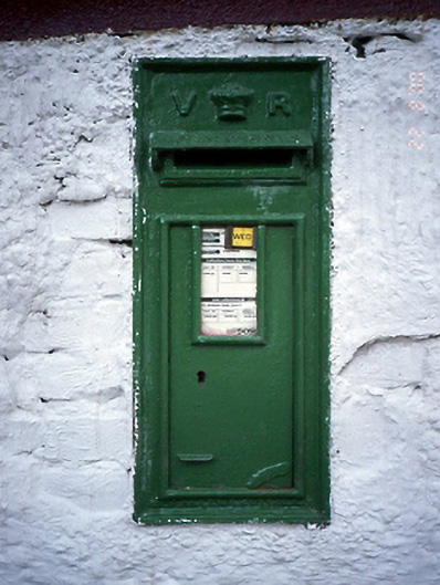 post boxpost box · 1112 yd
 KnockbrackMountain / peak · 1.1 mi
 Bun-na-CnoicMemorial · 1.3 mi
 Bawn in NaulBawn · 1.3 mi
 Seamus Ennis Cultural CentreMemorial · 1.3 mi
 Naul Park HouseCastle, unclassified · 1.5 mi
 Naul HillMountain / peak · 1.6 mi
 Clonard SpringSpring · 2.0 mi
 Tullog WoodForest · 2.1 mi