What is recorded here
Situated in level pasture, KE088-010002- occupies a roughly rectangular area which is delimited by modern field boundaries. Within this is an oval-shaped enclosure, an earthwork complex and a number of house sites. The enclosure contains a leacht and a gable-shrine, a holed stone, and numerous uninscribed grave-markers which relate to the use of the site as a ceallúnach (OSNB Killemlagh, 20). A pillar stone is incorporated into the external face of the enclosing element at S. A second ceallúnach (KE088-011001-) is located a short distance to E.
Earthworks (KE08-010010-) Angular and curvilinear stretches of earthen and stone banks occur NW and N of the enclosure KE088-010012-. A large rectangular enclosure at NW contains a pair of rectangular house sites, each of which measures 5m x 4m internally. Some of the curvilinear stretches of the bank to E may represent the foundations of additional structures.
The above description is derived from A. O'Sullivan and J. Sheehan (compilers), 'The Iveragh peninsula: an archaeological survey of South Kerry'. Cork University Press (1996), no. 960. In certain instances the entries have been revised and updated in the light of recent research.
Date of upload: 30 July 2013
The monument record does not grant public access. Check the route and ask the landowner before entering private land.
- What survives
- Recorded monument
Places near here
 Shrine in KilloluaigShrine · 16 yd
 Megalithic structure in KilloluaigMegalithic structure · 278 yd
 Fermoyle Castle (in Ruins)Castle, tower house · 1.8 mi
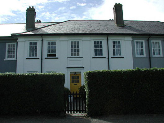 worker's houseworker's house · 2.4 mi
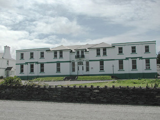 The Cable Stationtelegraph station · 2.5 mi
 Kilbeg MountainMountain / peak · 2.8 mi
 Chilean myrtleChilean myrtle · 3.2 mi
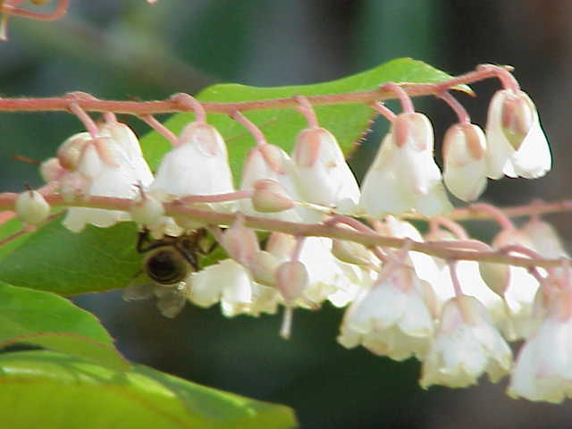 Lily-of-the-valley treeLily-of-the-valley tree · 3.3 mi
 Emlagh LoopWalking route · 3.4 mi
 Waterville Beach (Reenore) HotelRuins · 3.4 mi
 Beginish IslandIsland · 3.6 mi
 Reenrow BeachBeach / strand · 3.7 mi