What is recorded here
The following description is derived from the published 'Archaeological Inventory of County Carlow' (Dublin: Stationery Office, 1993). In certain instances the entries have been revised and updated in the light of recent research.
Date of upload/revision: 17 July 2007
Shown on 1839 'OS 6-inch' map as a circular enclosure (max. diam. c. 40m). No visible surface traces.
The monument record does not grant public access. Check the route and ask the landowner before entering private land.
- What survives
- Recorded monument
Places near here
 Saint Peter's Church (Kiltennell)church/chapel · 1073 yd
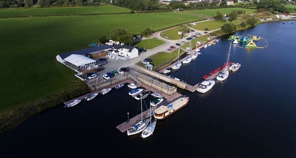 Enclosure in CrannaghEnclosure · 1422 yd
 Saint Fortchern's Catholic Churchchurch/chapel · 1515 yd
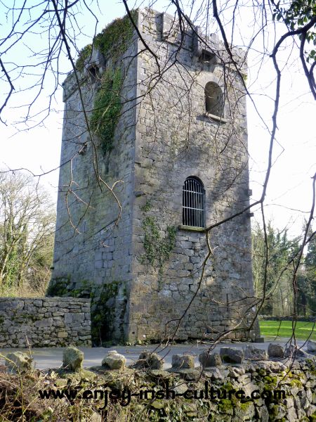 Enclosure in RaheendarraghEnclosure · 1.1 mi
 SlievebawnMountain / peak · 2.0 mi
 Irish Hangliding and Paragliding AssociationMemorial · 2.2 mi
 Coonogue WoodForest · 2.2 mi
 KnockroeMountain / peak · 2.3 mi
 Mount LeinsterMountain · 2.3 mi
 Rathnageeragh Castle (in ruins)Castle, unclassified · 2.9 mi
 Kilcullaun Church (in ruins), GraveyardChurch · 3.8 mi
 Pedunculate OakPedunculate Oak · 4.1 mi