What is recorded here
Kilfeacle holds a ghost circle twenty-eight metres wide, hidden beneath grass but still visible when sunlight strikes the land. It sits between a holy well and an old ringfort, suggesting people once shaped that spot for life or ritual before forgetting its name. The earth remembers what tongues have lost.
In grassland, holy well (LA025-032----) 195m to ENE, ringfort (LA025-033001-) and cross-slab (LA025-033003-) 160m to S. Cropmark of circular-shaped area (diam. c. 28m) visible on Google Earth photograph taken 14/07/2018.
See attached Google Earth orthoimages
Compiled by: Caimin O'Brien based on details provided by Jean-Charles Caillère
Date of upload: 10 January 2022
The monument record does not grant public access. Check the route and ask the landowner before entering private land.
- What survives
- Recorded monument
Places near here
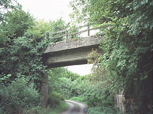 bridgebridge · 230 yd
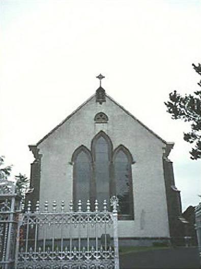 Saint Mary's Catholic Churchchurch/chapel · 1691 yd
 New Castle in ruinsCastle, unclassified · 1.7 mi
 Enclosure in LuggacurrenEnclosure · 1.9 mi
 Enclosure in Slatt LowerEnclosure · 2.0 mi
 Ballylehane CastleCastle, unclassified · 2.2 mi
 European ashEuropean ash · 4.6 mi
 Kilgorey Old BurialVisitor information · 5.3 mi
 Timahoe Church and Round TowerVisitor information · 5.3 mi
 DM PenderMemorial · 5.3 mi
 Mass Rock WalkWalking route · 6.3 mi
 Cobbler's Castle WalkWalking route · 6.4 mi