What is recorded here
Cropmark of circular-shaped area (diam. c. 31m) defined by a ditch visible on Google Earth photograph taken 20/03/2018.
See attached Google Earth orthoimages
Compiled by: Caimin O'Brien based on details provided by Jean-Charles Caillère
Date of upload: 10 January 2022
The monument record does not grant public access. Check the route and ask the landowner before entering private land.
- What survives
- Recorded monument
Places near here
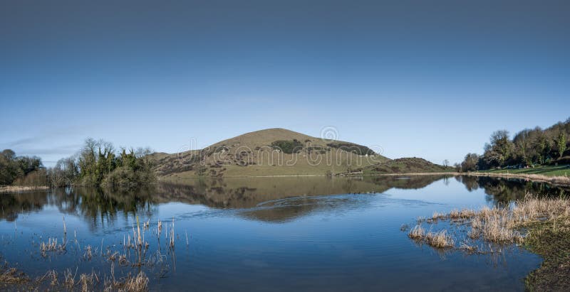 Crannog in RagamusCrannog · 225 yd
 Bawn in Ballinscoola (smallcounty By., Cahercorney Ed)Bawn · 389 yd
 Field system in Ballinscoola (smallcounty By., Cahercorney Ed)Field system · 603 yd
 Castle (in ruins)Castle, unclassified · 1150 yd
 Church (in ruins)Church · 1191 yd
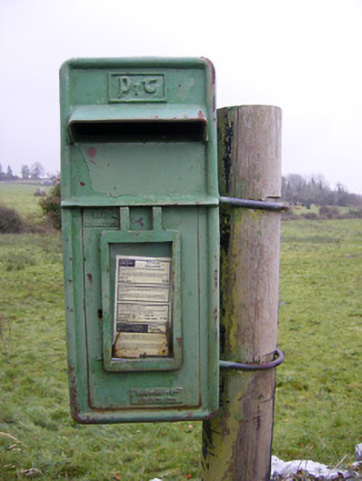 post boxpost box · 1725 yd
 Glen BogForest · 1.3 mi
 KnockainyMountain / peak · 1.4 mi
 Flat cemetery in Knockainy WestFlat cemetery · 2.1 mi
 Pedunculate OakPedunculate Oak · 2.3 mi
 Lough Gur Heritage CentreVisitor information · 2.4 mi
 The SpectaclesVisitor information · 2.5 mi