What is recorded here
Appears as a small oval-shaped mound on revised 1908 ed. OS 25-inch map but not on earlier editions of the OS 6-inch maps. Present owner stated that his father had levelled the site. Not visible at ground level.
The above description is derived from the published 'Archaeological Inventory of County Offaly' (Dublin: Stationery Office, 1997). In certain instances the entries have been revised and updated in the light of recent research.
Date of upload/revision: 30 December 2011
The monument record does not grant public access. Check the route and ask the landowner before entering private land.
- What survives
- Recorded monument
Places near here
 Ghaugher HillMountain / peak · 1476 yd
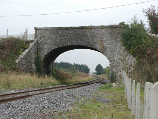 bridgebridge · 1.3 mi
 Templeshenane (Site of), Burial Gd.Church · 1.5 mi
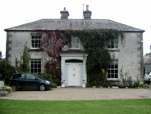 Ashmount Househouse · 1.7 mi
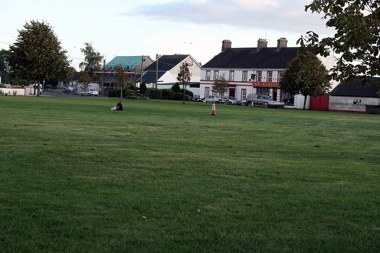 Enclosure in ClonygowanEnclosure · 1.8 mi
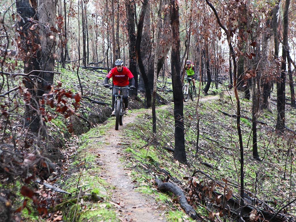 Derryounce Walk (Red Loop)Walking route · 1.8 mi
 Derryounce Lakes & TrailsNature reserve · 1.9 mi
 Bawn in ClonyhurkBawn · 1.9 mi
 Bog Oak WalkWalking route · 2.0 mi
 Spa WellSpring · 2.2 mi
 The Lord's WellSpring · 2.6 mi
 Pedunculate OakPedunculate Oak · 2.7 mi