What is recorded here
Located at the centre of a housing development. According to Healy (1975) there was a mound at this site which was cleared away and the site built on. Revised upload on: 11 April 2018.
From the National Monuments Service (Archaeological Survey of Ireland) record DU026-009
The monument record does not grant public access. Check the route and ask the landowner before entering private land.
- What survives
- Recorded monument
Places near here
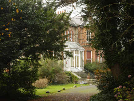 KylemoreHouse · 104 yd
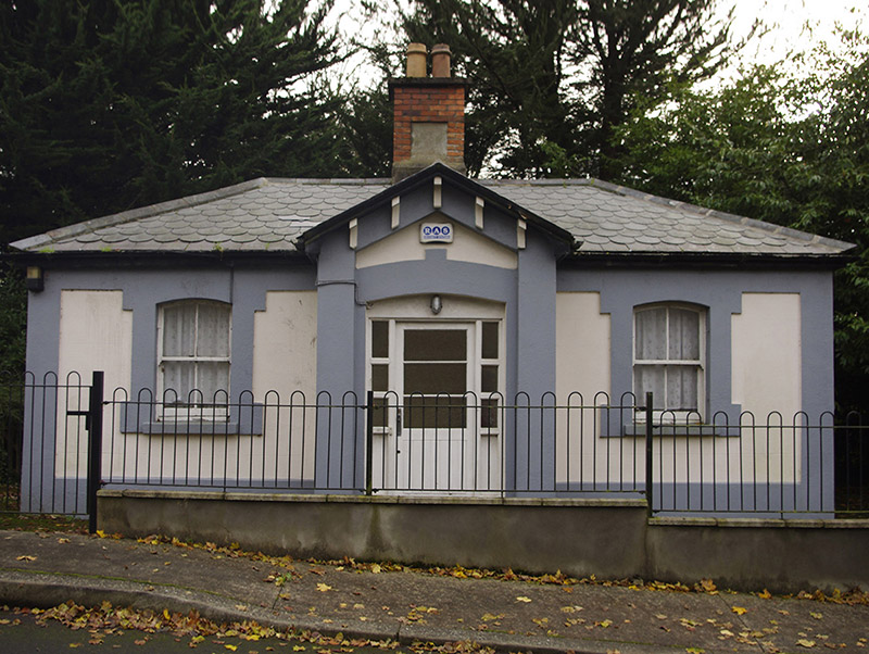 KylemoreGate lodge · 217 ydRoche's HillNature reserve · 904 ydMullins HillMountain / peak · 997 yd
 Martello Tower1129 ydMichael DavittMemorial · 1202 ydFuneral PathVisitor information · 1324 yd
.jpg/250px-Manderley_Castle_(8173369686).jpg "Photo: Sergio, Wikimedia Commons · CC BY 2.0") Ayesha CastleCastle · 1384 yd
Ayesha CastleCastle · 1384 yd Killiney HillMountain / peak · 1559 yd
 Mapas MonumentHeritage attraction · 1567 yd
 Proclamation of the Irish RepublicMemorial · 1751 yd
 CrossCross, High cross · 1.3 mi
Pictures: National Inventory of Architectural Heritage; Irlpol, Wikimedia Commons · CC BY-SA 3.0; Sergio, Wikimedia Commons · CC BY 2.0; User:Raladic, Wikimedia Commons · CC BY 3.0; Colin Park, Geograph · CC BY-SA 2.0; Patrick Keegan, Wikimedia Commons · CC BY 4.0; William Murphy from Dublin, Ireland, Wikimedia Commons · CC BY-SA 2.0
More archaeology and monuments in County Dublin · All of County Dublin
What do you know about this place?