What is recorded here
Situated on a low rise, in low-lying, wet pasture, with limited views of the surrounding landscape; A stream and townland boundary to the immediate E. Monument described in 1971 and 1977 as a long, suboval-shaped area (dims. 58m NW-SE; 34m NE-SW) defined by a scarp, which tapers to a point at SE. The scarp (H 1.2m) is present from SE-W-N-ENE. There is no fosse or entrance visible. The interior rises slightly from the perimeter to the centre. There is a low, circular-shaped platform of earth and stone just within the interior, on the upper edge of the scarp at SSE, which appears modern.
Compiled by: Alison McQueen, Vera Rahilly and Caimin O’Brien.
Date of upload: 1 September 2019
The monument record does not grant public access. Check the route and ask the landowner before entering private land.
- What survives
- Recorded monument
Places near here
 Jamestown Househouse · 188 yd
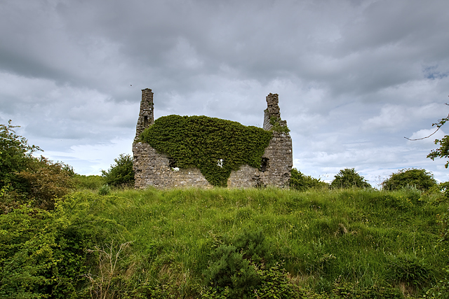 Dundonnell CastleCastle, unclassified · 351 yd
 IndicatedRoad, hollow-way · 549 yd
 Ancient Ring FortWood · 972 yd
 Tober FintanHoly well · 1457 yd
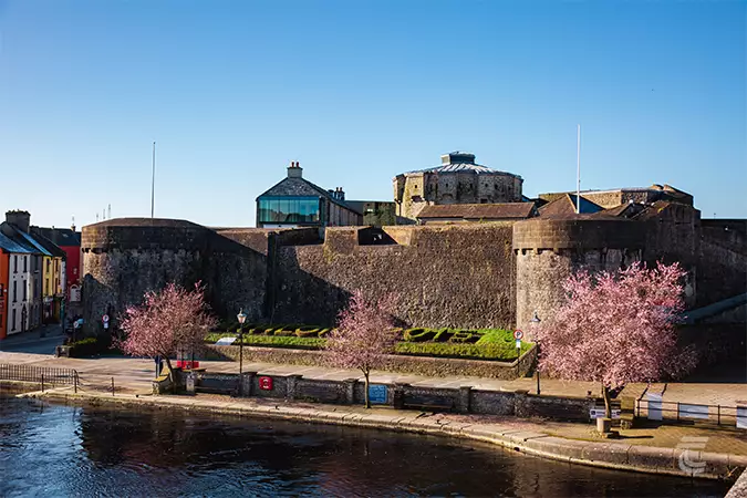 Oldtown CastleCastle · 1583 yd
 Settlement desertedSettlement deserted, medieval · 1.2 mi
 Hill of UisneachMountain / peak · 3.6 mi
 European ashEuropean ash · 4.5 mi
 Carrickphilbin IslandIslet · 5.4 mi
 Srudarra IslandIslet · 5.6 mi
 Abbeyshrule AbbeyRuins · 9.3 mi