What is recorded here
On level ground NE and E of the Cistercian foundation Hore Abbey (TS061-024----) to the public road, in pasture. A geophysical survey was carried out in this large field, which is transected by an E-W stream, in 2014, as a result of which a number of small fields were identified, with a particularly high concentration of features in the area immediately NE of the abbey buildings (Gimson and Bonsall 2014, 14, fig.3). These features may be contemporary with the abbey but could also relate to the post-Dissolution occupation of the abbey.
Compiled by: Jean Farrelly
Date of upload: 4 December 2017
The monument record does not grant public access. Check the route and ask the landowner before entering private land.
- What survives
- Recorded monument
Places near here
 Hore AbbeyHeritage attraction · 87 yd
 Enclosure in St. PatricksrockEnclosure · 313 yd
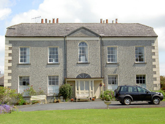 Rock Abbeyhouse · 405 yd
 Scoil Chormaicschool · 450 yd
 CrossCross, High cross · 509 yd
 Rock of CashelHeritage attraction · 510 yd
 The Rock Of CashelVisitor information · 562 yd
 Black mulberryBlack mulberry · 612 yd
 Ballyknock HillMountain / peak · 1.5 mi
 Site of CastleCastle, unclassified · 1.7 mi
 Castle in RuinsHouse, fortified house · 2.0 mi
 European ashEuropean ash · 4.7 mi