What is recorded here
An overgrown earthen bank (Wth 5m; H 1.5m) curves N and W (C 20m) from the site of St Mogue’s well (LE005-003003-), but there is no indication that it was the bank of a rath. It may be part of the earthwork known as the ‘Whiskey Ditch’ that was an S-shaped earthen bank, which was used to provide shelter from the elements to visitors to St Mogue’s church and well (Fuaghnan 1943, No. 126).
Compiled by: Michael Moore
Date of upload: 7 January, 2015
The monument record does not grant public access. Check the route and ask the landowner before entering private land.
- What survives
- Recorded monument
Places near here
 Not indicateedHoly well · 14 yd
 Ross PointHeadland · 667 yd
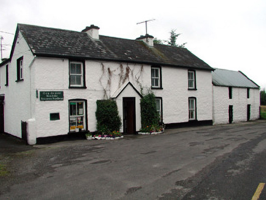 Rossinver Post Officehouse · 1322 yd
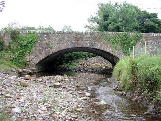 bridgebridge · 1442 yd
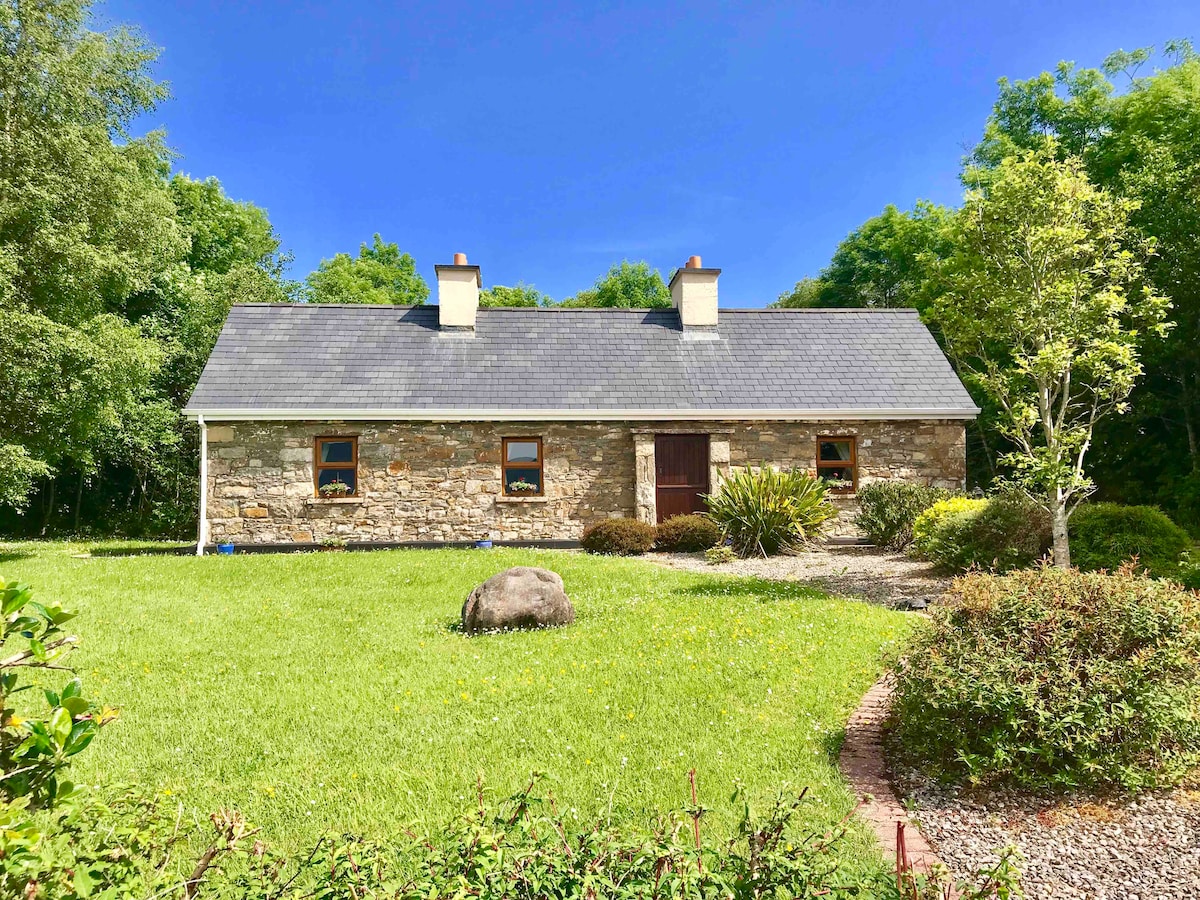 IndicatedFairy fort / ringfort · 1711 yd
 Giant's GraveArchaeological place · 1.1 mi
 Fowley's FallsPicnic place · 1.4 mi
 Sally IslandIslet · 1.9 mi
 Bilberry IslandIslet · 1.9 mi
 Saddle HillMountain / peak · 3.4 mi
 Conwal NorthMountain / peak · 3.5 mi
 Kilroosk RockNamed rock · 4.7 mi