What is recorded here
Ten metres across and a metre high, the oval mound in Gortnaporia holds an underground passage whose entrance still breathes at its southeast edge. Stone revetment survives best from south to west, marking the boundary between ordinary farmland and a place built for deliberate descent. A ringfort waits one hundred and ten metres east, suggesting the mound served a lived landscape rather than standing alone. People may have entered the passage to keep records, hide during storms, or perform rites that required darkness; the surviving stones preserve only the shape of that choice.
On level farmland within an area of scrub and rock outcrop. A low roughly oval mound (NW-SE 10m, NE-SW 7.9m, H 1.2m), in fair condition, composed of earth and stone. Traces of stone revetment are visible around its perimeter; best preserved from S to W. Within the mound is a Man-made underground passage (GA042-142001-), the present entrance to which is located within its limits at SE. A ringfort (GA042-143----) lies 110m to E.
The above description is derived from the published 'Archaeological Inventory of County Galway Vol. II - North Galway'. Compiled by Olive Alcock, Kathy de hÓra and Paul Gosling (Dublin: Stationery Office, 1999).
Date of upload: 05 August 2010
The monument record does not grant public access. Check the route and ask the landowner before entering private land.
- What survives
- Recorded monument
Places near here
 CaherFairy fort / stone ringfort · 1087 yd
 IndicatedEnclosure · 1145 yd
 Donaghpatrick Church in ruinsChurch · 1.0 mi
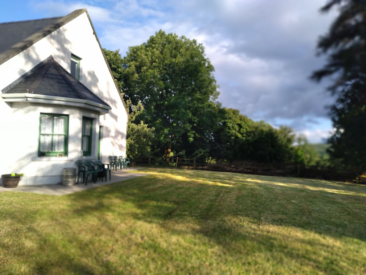 Country house in Barnaboy (headford By.)Country house · 1.2 mi
 Kilcoona Round TowerHeritage attraction · 1.6 mi
 KnockmaaWood · 2.7 mi
 Castle Hacket (in ruins)Castle, hall-house · 2.8 mi
 Cloghanower Castle in ruinsCastle, tower house · 2.9 mi
 Ballinduff BayBay · 4.0 mi
 Ross Errilly FriaryHeritage attraction · 4.5 mi
 Walsh's IslandIslet · 4.9 mi
 Pesooge PlantationForest · 5.1 mi