What is recorded here
Cropmark of roughly circular-shaped earthwork (diam. c. 28m) visible on Google Earth orthoimage.
See attached Google Earth orthoimages
Compiled by: Caimin O'Brien based on details provided by Jean-Charles Caillère
Date of upload: 2 November 2021
The monument record does not grant public access. Check the route and ask the landowner before entering private land.
- What survives
- Recorded monument
Places near here
 Blackboy Bridgebridge · 1194 yd
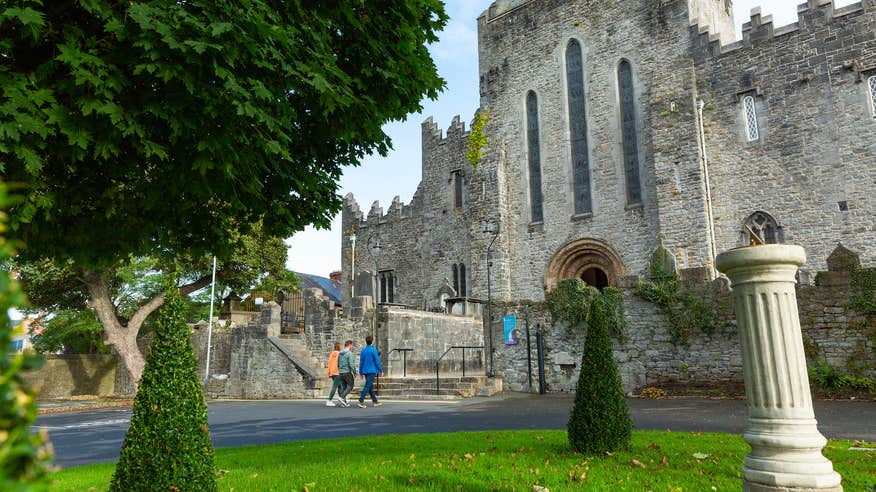 IndicatedFairy fort / earthen ringfort · 1263 yd
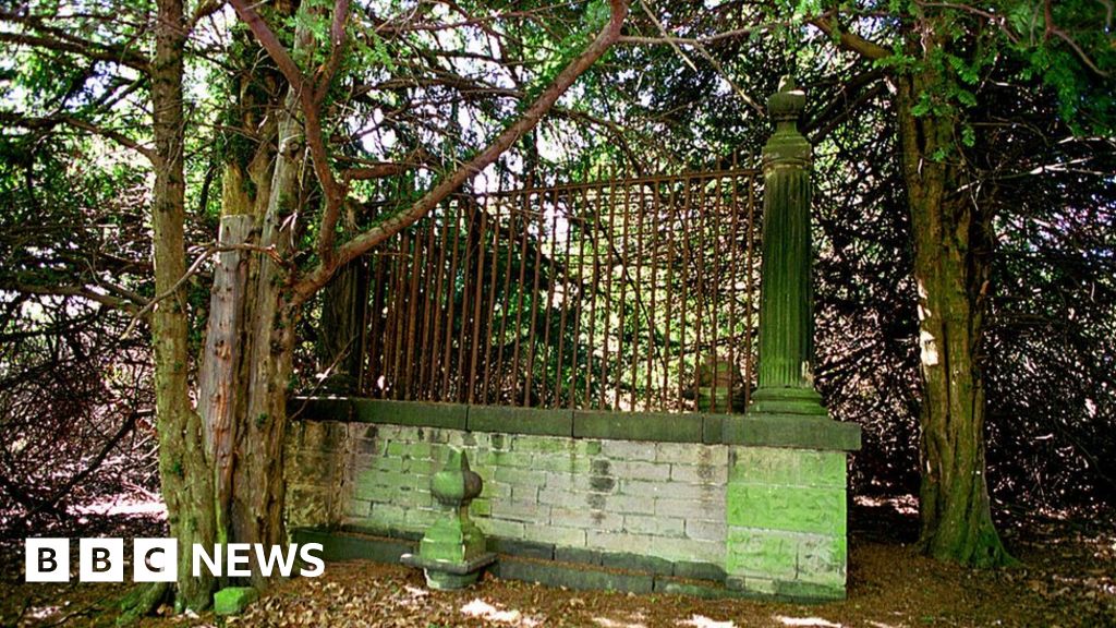 Grave YardChildren's burial ground · 1308 yd
 Castle Gardecountry house, castle/fortified house · 1.0 mi
 Coonagh CastleCastle · 2.1 mi
 Tower HillCastle, unclassified · 2.5 mi
 ToberagaddySpring · 3.4 mi
 GortnageraghMountain / peak · 3.4 mi
 Slieve Felim East TopMountain / peak · 4.4 mi
 Slieve Felim WayWalking route · 4.4 mi
 Sliev Felim WayVisitor information · 5.5 mi
 Graveyard in AbingtonGraveyard · 5.8 mi