What is recorded here
In reclaimed pasture 90m S of the townland boundary with Bawntard North. Barrow (LI048-085----) lies 110m to N. Depicted on the 1840 ed. OSi 6-inch map as a circular-shaped earthwork. It is shown on the 1897 ed. OSi 25-inch map as a raised circular-shaped platform (diam c. 21m) defined by a scarp. Monument visible as a circular-shaped area defined by a fosse on Digital Globe orthoimage taken between 2011-13 and on Google Earth orthoimages where it is intersected at N by a field boundary running NE-SW.
See attached Google Earth orthoimages.
Compiled by: Martin Fitzpatrick
Date of upload: 27 August 2021
The monument record does not grant public access. Check the route and ask the landowner before entering private land.
- What survives
- Recorded monument
Places near here
 Bantard Househouse · 488 yd
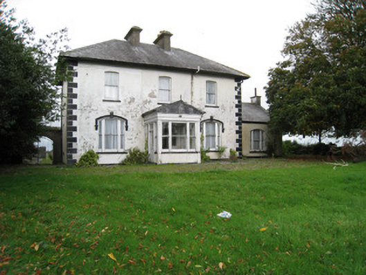 Fantstown Househouse · 706 yd
 Ladys WellHoly well · 707 yd
 Castle (in ruins)Castle, tower house · 1262 yd
 Rathbaun, HachuredFairy fort / earthen ringfort · 1367 yd
 Bulgaden Castle (in ruins)Castle, tower house · 1.1 mi
 Kilmallock AbbeyHeritage attraction · 1.9 mi
 King John's CastleCastle · 2.0 mi
 St Bridget's WellSpring · 2.6 mi
 Ballinvreena LoopVisitor information · 4.1 mi
 Ballyhoura tourist informationVisitor information · 4.2 mi
 Lady's WellSpring · 4.8 mi