What is recorded here
In pasture, 55m W of townland boundary with Garryncoonagh North. Not marked on OSi historic maps. Identified by ASI on examination of oblique aerial photographs (ASIAP) taken 04/03/2006. Monument visible as circular-shaped area (diam. c. 38m) defined by a fosse on Digital Globe orthoimage taken between 2011-2013 and on Google Earth orthoimages.
See attached Google Earth orthoimages
Compiled by: Fiona Rooney
Date of upload: 22 November 2021
The monument record does not grant public access. Check the route and ask the landowner before entering private land.
- What survives
- Recorded monument
Places near here
 bridgebridge · 1565 yd
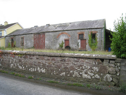 Effin Creameycreamery · 1702 yd
 ToberSpring · 1714 yd
 Grave YardGraveyard · 1.0 mi
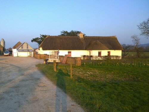 Enclosure in EffinEnclosure · 1.1 mi
 Lady's WellSpring · 1.1 mi
 Ardskeagh MoatCastle, motte · 1.5 mi
 Ballymacshaneboy Castle (in ruins)Castle, unclassified · 1.6 mi
 Holy Cross CemeteryGraveyard · 2.0 mi
 BallinaboolaVisitor information · 2.4 mi
 Caher HillMountain / peak · 2.5 mi
 Carron MountainMountain / peak · 3.5 mi