What is recorded here
In grassland, on the S side of the Hill of Forgney. Cropmark of square-shaped earthwork (dims. c. 14m) visible on Google Earth orthoimages with second square-shaped earthwork (LF027-064----) 40m to W.
See attached Google Earth orthophoto
Compiled by: Caimin O'Brien based on details provided by Jean-Charles Caillère
Date of upload: 12 July 2022
The monument record does not grant public access. Check the route and ask the landowner before entering private land.
- What survives
- Recorded monument
Places near here
 FortsFairy fort / earthen ringfort · 315 yd
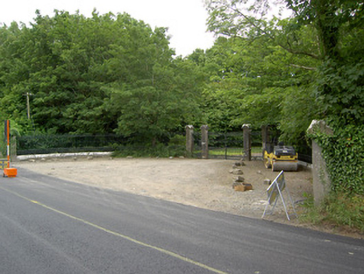 Newcastlegates/railings/walls · 322 yd
 Saint Munis's Church (Forgney)church/chapel · 332 yd
 St. Patricks WellHoly well · 461 yd
 Guest ServicesVisitor information · 1504 yd
 Craft WorkshopHeritage attraction · 1511 yd
 Target WoodWood · 1.5 mi
 Goldsmith Birthplace, PallasVisitor information · 1.6 mi
 Newcastle WoodsForest · 1.8 mi
 Sessile OakSessile Oak · 2.1 mi
 Ballymulvey Ho.Castle, unclassified · 2.2 mi
 Noughaval CemeteryArchaeological place · 3.4 mi