What is recorded here
West and northwest of Fartamore Castle, flat-topped banks and broad fosses stretch across two hundred metres of low ground without forming an obvious shape. They may be drainage trenches and discarded soil rather than a boundary or chamber, yet the scale suggests people worked that wet land hard. The castle still stands nearby while the earthwork fades into pasture, preserving the effort but losing the reason.
On low-lying ground to W and NW of Fartamore Castle (GA016-053001-). A series of flat-topped banks and broad fosses cover an area c. 200m by c. 100m but form no obvious pattern. Possibly drainage trenches and associated upcast.
The above description is derived from the published 'Archaeological Inventory of County Galway Vol. II - North Galway'. Compiled by Olive Alcock, Kathy de hÓra and Paul Gosling (Dublin: Stationery Office, 1999).
Date of upload: 05 August 2010
The monument record does not grant public access. Check the route and ask the landowner before entering private land.
- What survives
- Recorded monument
Places near here
 Fartamore Castle (ruins)Castle · 28 yd
 Fartamore Castle in ruinsCastle, tower house · 31 yd
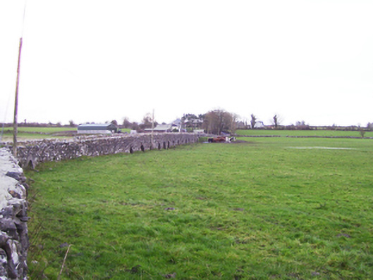 Fartamore Bridgebridge · 170 yd
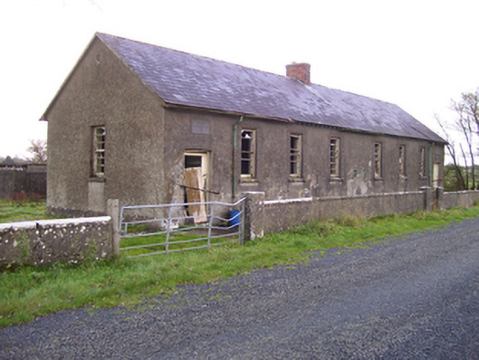 Brooklawn National Schoolschool · 596 yd
 LisnacreevaFairy fort / earthen ringfort · 1083 yd
 IndicatedHoly well · 1.2 mi
 European ashEuropean ash · 2.7 mi
 Mass RockNamed rock · 3.5 mi
 KnockmaaWood · 6.9 mi
 Kilcoona Round TowerHeritage attraction · 10 mi
 Ross Errilly FriaryHeritage attraction · 11 mi
 Kilcreevanty NunneryReligious house, Benedictine nuns · 1.1 mi