
What is recorded here
From the National Monuments Service (Archaeological Survey of Ireland) record KE048-042
Places near here
Photo credits
- Wikimedia Commons contributor · CC BY-SA 3.0
- Kmcnamee, Wikimedia Commons · CC BY-SA 4.0
- Maker not stated on source page, www.irishmirror.ie
- David Dixon, Geograph · Creative Commons Attribution-ShareAlike 2.0
- Maker not stated on source page, www.wildernessireland.com
- Maker not stated on source page, www.tripadvisor.com.au
- Maker not stated on source page, commons.wikimedia.org
- Maker not stated on source page, www.pinterest.com
- Maker not stated on source page, sacredsites.com
 Farranfore Railway StationRailway station · 189 yd
Explorer Tom Farranfore Railway Station nearly got famous when a famous actor almost got on the wrong train here, but he missed it…
 Firies GAA pitchGAA ground · 233 yd
 Fairy fort / earthen ringfort in Dromore (magunihy By.)Fairy fort / earthen ringfort · 1004 yd
Explorer Tom Fairy fort / earthern ringfort in Dromore was recorded in the 1840s, then nobody could find it again. A cow tried to…
 O'Connell BridgeBridge · 1546 yd
Explorer Tom O'Connell Bridge in Gearha would be the best man at a wedding, holding up the ring and looking stern. It's been…
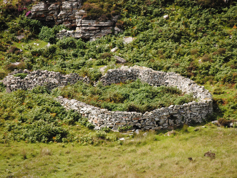 Fairy fort / earthen ringfort in GurteenroeFairy fort / earthen ringfort · 1608 yd
Explorer Tom Fairy fort / earthen ringfort in Gurteenroe has started an imaginary fan club with zero members. It’s been waiting…
 Standing stone in Dromore (magunihy By.)Standing stone · 1.0 mi
Explorer Tom Standing stone in Dromore would teach history by just standing there and judging your notes. The cattle have scratched…
 Inscribed stone in GortshanavoghInscribed stone · 1.2 mi
Explorer Tom Inscribed stone in Gortshanavogh would survive a zombie attack by simply standing there until they get bored of trying…
 Currans Church (in ruins)Church · 1.2 mi
Explorer Tom Currans Church ended up in Ardcrone because the mapmaker was drunk and drew the line two miles too far west. Now it…
 Enclosure in Meanus (trughanacmy By., Kiltallagh Ed)Enclosure · 1.3 mi
Explorer Tom Enclosure in Meanus holds a fake world record for being least described in official records. It’s just sitting there…
 Ogham stone in Crag (trughanacmy By., Currans Ed)Ogham stone · 1.4 mi
Explorer Tom Ogham stone in Crag is covered in scratches that might be poetry or just bad carving by a drunk monk. I once wrote a…
 Standing stone in Crag (trughanacmy By., Currans Ed)Standing stone · 1.6 mi
Explorer Tom Standing stone in Crag has an imaginary fan club that meets every full moon to sing songs about its stability. Nobody…
Currow GAA pitchGAA ground · 1.8 miMore archaeology and monuments in County Kerry · All of County Kerry

What do you know about this place?Tap to add a comment or ask a question