What is recorded here
Not visible at ground level. Not marked on any edition of the OS 6-inch map, identified as a potential destroyed monument which was pencilled in as a circular feature on the 1838 ed. OS 6-inch map (ASI file) 1977). Described in 1977 as, 'this earthwork has been destroyed. It was set on a low narrow ridge in undulating land' (SMR File 1977). This monument was not indicated as an antiquity on any edition of the OS 6-inch maps and there is no definite evidence that there was ever an archaeological monument at this location.
The above description is derived from the published 'Archaeological Inventory of County Offaly' (Dublin: Stationery Office, 1997). In certain instances the entries have been revised and updated in the light of recent research.
Compiled by Caimin O'Brien
Date of upload/revision: 22 December 2011
This remains an important historical record, but the official description says the monument is no longer visible or has been destroyed. The monument record does not grant public access. Check the route and ask the landowner before entering private land.
- What survives
- No visible remains or recorded as destroyed
Places near here
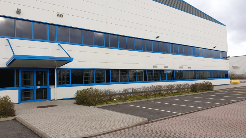 Enclosure in Erry (armstrong)Enclosure · 609 yd
 Clara Bog BoardwalkHeritage attraction · 1538 yd
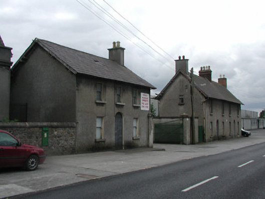 Clashawaun Worksworker's house · 1574 yd
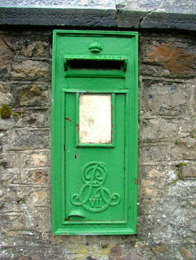 post boxpost box · 1609 yd
 Kilcromeen Grave yd.Children's burial ground · 1.1 mi
 Inchaloon IslandIslet · 1.3 mi
 Chapel HillForest · 1.7 mi
 Kilcoursey Castle (in Ruins)Bawn · 1.9 mi
 ToberaskeenSpring · 2.0 mi
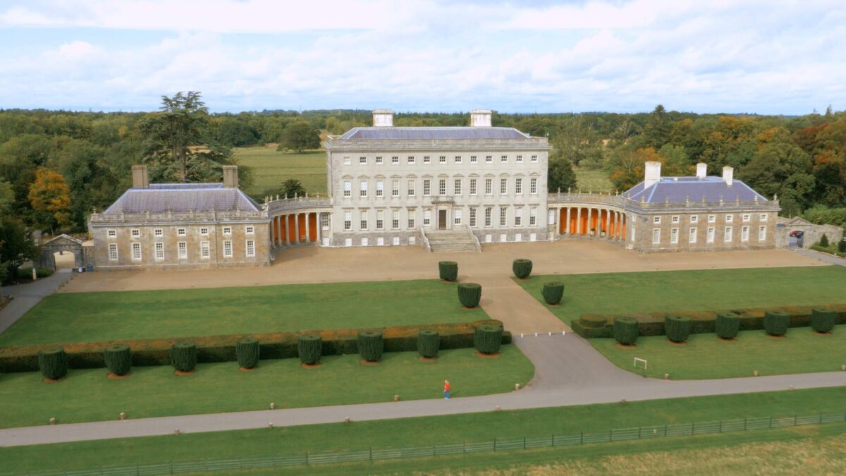 Bawn in Castletown (ballycowan By.)Bawn · 2.2 mi
 Trumpet HillMountain / peak · 3.5 mi
 High WoodWood · 4.9 mi