What is recorded here
Situated in low lying, poorly drained pasture. Depicted as an earthwork on the Larkin's 1808 Map of County Westmeath (NLI, MS 46,580). Levelled monument described in 1978 as having no surface remains visible.
Compiled by Alison McQueen, Vera Rahilly and Caimin O’Brien.
Date of upload: 24 July 2019
The monument record does not grant public access. Check the route and ask the landowner before entering private land.
- What survives
- Recorded monument
Places near here
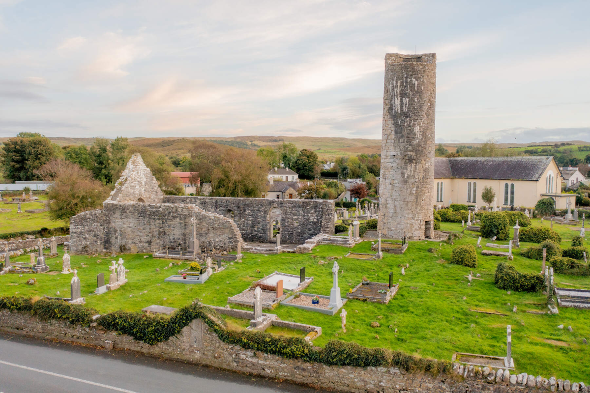 Tober EnainHoly well · 205 yd
 Church in CartroncoraghChurch · 395 yd
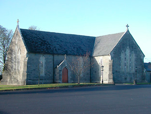 Catholic Church of the Immaculate Conceptionchurch/chapel · 1154 yd
 IndicatedCastle, unclassified · 1541 yd
 Man-made underground passage in ArdborraMan-made underground passage · 1643 yd
 CastleCastle, motte and bailey · 2.0 mi
 Noughaval CemeteryArchaeological place · 2.9 mi
 European BeechEuropean Beech · 4.3 mi
 Guest ServicesVisitor information · 5.0 mi
 Craft WorkshopHeritage attraction · 5.0 mi
 Japanese pagoda treeJapanese pagoda tree · 5.1 mi
 KnockastiaMountain / peak · 5.6 mi