What is recorded here
Situated on a low rise of ground on poorly drained marshy land at the N edge of a bog. The top of the natural rise has been quarried away leaving a shallow flat -bottomed depression. There are no surface remains visible of any monument at this location. This earthwork is depicted on Larkin's map of 1804 (SMR File).
Compiled by: Caimin O'Brien
Date of upload: 08 July 2013
The monument record does not grant public access. Check the route and ask the landowner before entering private land.
- What survives
- Recorded monument
Places near here
 OutlinedEnclosure · 933 yd
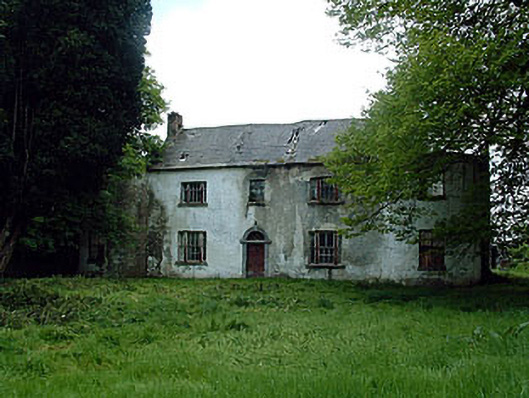 Drumman Lodgehouse · 1033 yd
 Church (in Ruins)Church · 1502 yd
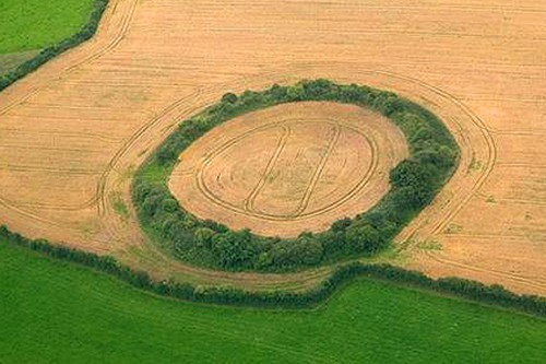 Fairy fort / earthen ringfort in GortumlyFairy fort / earthen ringfort · 1.5 mi
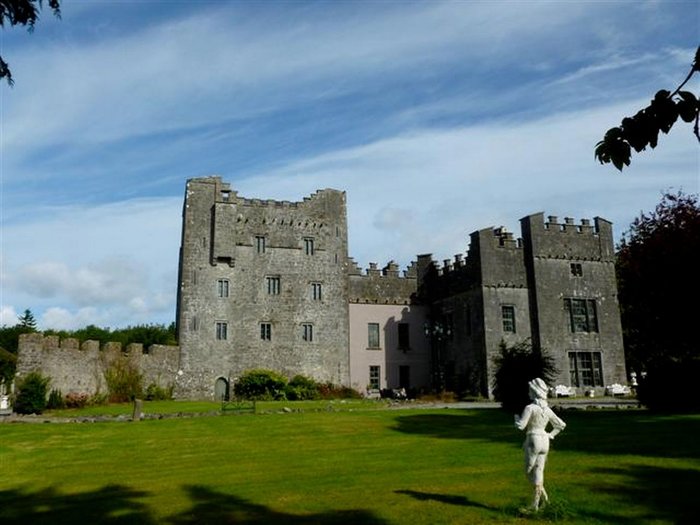 CastleCastle, unclassified · 1.7 mi
 Site of CastleCastle, unclassified · 1.8 mi
 Derrygreenagh HillMountain / peak · 2.1 mi
 Knockdrin HillMountain / peak · 2.8 mi
 Mollie Moo's Pet FarmHeritage attraction · 5.4 mi
 Belvedere house and gardensVisitor information · 5.7 mi
 Blind IslandIslet · 6.0 mi
 Roundhill WoodForest · 8.5 mi