
What is recorded here
In reclaimed pasture 40m W of the River Maigue and 80m NW of a watercourse that marks the townland boundary with Knockfenora. Fording point over the River Maigue 125m to the N. Depicted on the 1840 OS 6-inch map as a raised circular-shaped area (diam. c. 60m). The 1897 ed. OS 25-inch map shows the partially level…
Read the whole record
From the National Monuments Service (Archaeological Survey of Ireland) record LI039-056
Places near here
Photo credits
- National Inventory of Architectural Heritage
- Maker not stated on source page, www.alamy.com
- Wanfried-Dublin, Wikimedia Commons · CC BY-SA 4.0
- Maker not stated on source page, www.tripadvisor.ca
- Maker not stated on source page, www.tripadvisor.co.uk
- Maker not stated on source page, www.flickr.com
- Kmcnamee, Wikimedia Commons · CC BY-SA 4.0
 bridge477 yd
Explorer Tom Bridge in Dromacummer East once inspired a poet to write, 'Oh bridge, you rock / My back is locked.' The rhyme was…
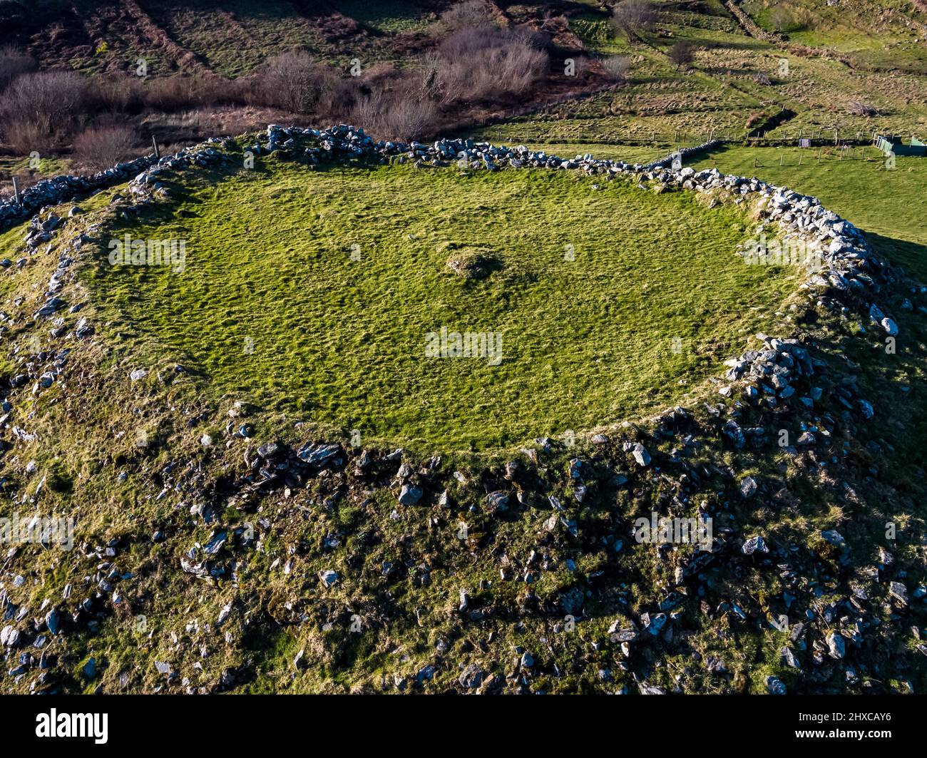 Fairy fort / earthen ringfort in Dromacummer EastFairy fort / earthen ringfort · 604 yd
Explorer Tom This fairy fort was nearly sold to a farmer as part of a horse deal, but the paperwork fell through in the rain. The…
 Kilbrien BridgeBridge · 809 yd
Explorer Tom Kilbrien Bridge in Limerick is strutting around with its round arches, acting like it’s about to win a beauty pageant…
 Teach de ValeraHouse · 914 yd
Explorer Tom Teach de Valera in Knockfenora was built by the Poor Law Union. A curse hits anyone who doesn't wave at it. Éamon de…
 Howardstown BridgeBridge · 1182 yd
Explorer Tom Howdstown Bridge in Howardstown South was once the workplace of a very aggressive matchmaker who charged per handshake.…
 The Old MillMiller's house · 1604 yd
Explorer Tom The Old Mill in Bruree has a hidden treasure that is definitely just a rusty biscuit tin. The miller used to hide his…
 The Eamonn De Valera MuseumMuseum · 1635 yd
Explorer Tom Eamonn De Valera Museum hides a secret: his first escape plan involved a canoe and a very confused donkey. He never…
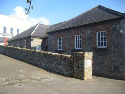 De Valera MuseumSchool · 1636 yd
Explorer Tom De Valera Museum in Bruree Town used to split kids by gender, which explains why the boys’ side always looked grumpier.…
 St Mainchins Church (Site of)Church · 1.0 mi
Explorer Tom St Mainchins Church in Ballynoe once had a goat ruling the roost, probably eating the sacred texts. Now it’s just a…
 Bruree Castle Upper (in ruins)Castle, tower house · 1.0 mi
Explorer Tom Bruree Castle Upper sits proudly in the graveyard, which is bold for a ruin. It would have 'Resting but not quite'…
 Bruree GAA pitchGAA ground · 1.4 miDromin/Athlacca GAA pitchGAA ground · 1.6 mi
More archaeology and monuments in County Limerick · All of County Limerick

What do you know about this place?Tap to add a comment or ask a question