What is recorded here
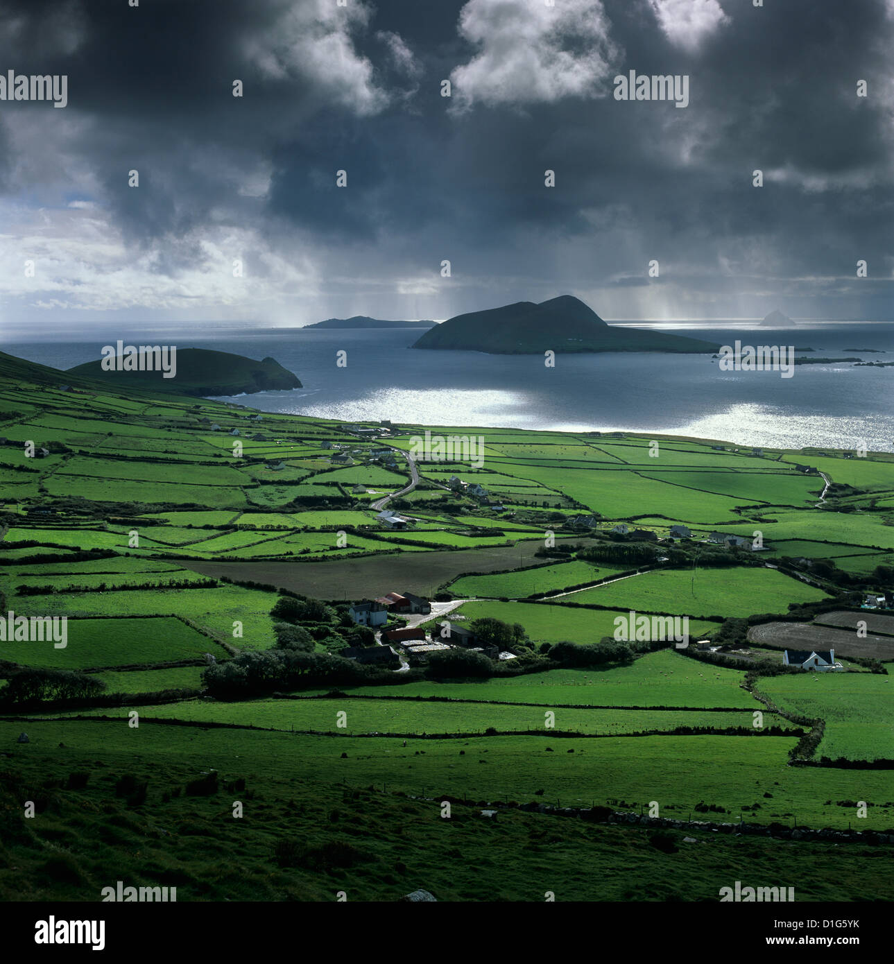
Half-buried in wet Kerry grassland, the circular ditch waits for rain to reveal itself again. Two ringforts sit nearby like forgotten sentinels, while a straight field boundary later cut across the place and erased it from human memory. The land keeps its shape even when people stop seeing it.
In poorly drained reclaimed grassland. Two ringforts (KE002-050/049----) 235m to SE and 190m to SSE respectively. Roughly circular-shaped area (int. diam. c. 35m; overall diam. c. 45m) defined by a ditch visible as a cropmark on 2013-2018 MapGenie aerial imagery, not visible on any edition of the OS maps. Cropmark of linear ditch radiating out from W side of cropmark may be the remains of a levelled field bank/boundary that is contemporaneous with the earthwork. Cropmark of linear ditch running E-W transects the N section of the earthwork which appears to be the remains of a later field boundary cutting across the site. This field boundary is depicted on the first edition OS six-inch map. Possibly the cropmark of a levelled ringfort identified during an assessment by the Department’s Archaeology & Built Heritage section of an application for a Licence for a forest road project (DAFM Ref. CN97549).
Compiled by: Caimin O'Brien based on details provided by Sam Hughes, Archaeologist, Forestry Service, Department of Agriculture, Food and the Marine
Date of Compilation: 10 November 2025
The monument record does not grant public access. Check the route and ask the landowner before entering private land.
- What survives
- Recorded monument
Places near here
 ToberfellHoly well · 1.1 mi
 LisroeArchaeological place · 1.2 mi
 KnockanoreMountain / peak · 1.5 mi
 Kilconly Church (in ruins)Church · 1.7 mi
 Beal Castle (in ruins)Castle, Anglo-Norman masonry castle · 2.1 mi
 Cliffs of DooneenCliff · 2.2 mi
 Bromore CliffsCliff · 2.4 mi
 CastleCastle, Anglo-Norman masonry castle · 2.7 mi
 Doon Catholic Churchchurch/chapel · 2.8 mi
 Nuns' BeachBeach / strand · 3.2 mi
 Ballybunion Cliff PathWalking route · 3.3 mi
 Ladies' BeachBeach / strand · 3.4 mi