What is recorded here
Knox (1911, 328-330) recorded earthworks associated with a possible castle (MA103-053001-) at the NW end of Cottage townland, 'close to Cottage Bridge over the Clare River, and close to the site of an old church [MA103-052----] called Kilthooye. Bellaveel Castle [MA103-051----] was on the opposite side of the river.' The earthworks were L-shaped in plan, and consisted of rectangular areas defined by banks/ramparts (Wth 2-3.5m) and ditches. At S was an enclosure ‘60 yards square [55m]’, which abutted the E end of the S side of a larger rectangular area ‘nearly 160 yards [146m] from east to west, and nearly 70 yards [64m] from north to south.’ An E−W ditch (Wth c. 4.5m; D 1.5m), which Knox suggested might have been a sunken road, flanked by banks, separated the square enclosure from the larger rectangular enclosure. Slight banks subdivided the large rectangle into three smaller rectangular spaces. Knox considered a point at the junction of the two main enclosures, on the W side, as the site of a castle (MA103-053001-).
Compiled by: Jane O’Shaughnessy
Date of upload: 23 November 2022
The monument record does not grant public access. Check the route and ask the landowner before entering private land.
- What survives
- Recorded monument
Places near here
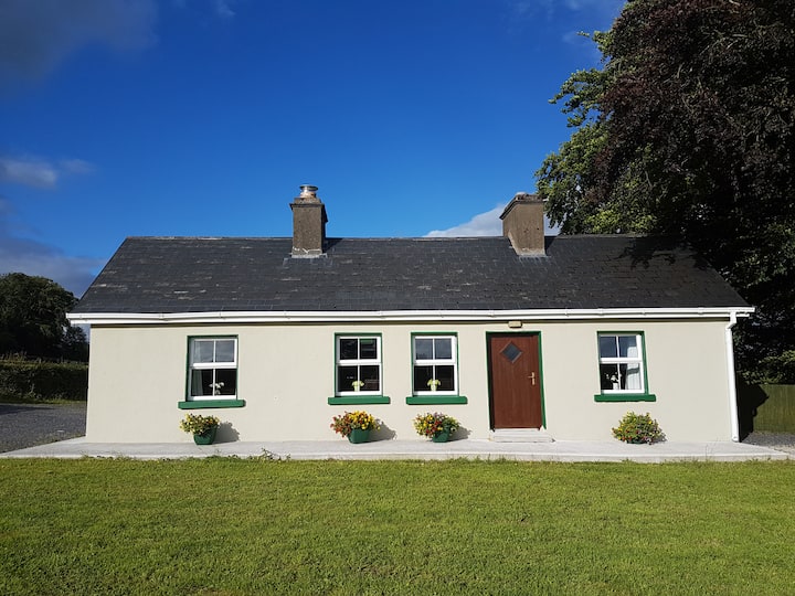 Enclosure in Cottage (costello By.)Enclosure · 201 yd
 Knockanroe FortEnclosure · 628 yd
 Saint Mary's Catholic Churchchurch/chapel · 1383 yd
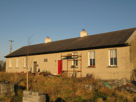 Saint Joseph's National Schoolschool · 1.2 mi
 CastleCastle, unclassified · 2.2 mi
 Slieve DartMountain / peak · 4.6 mi
 Dunmore CastleCastle · 6.6 mi
 Oak WoodForest · 8.2 mi
 Land of the GiantsHeritage attraction · 9.0 mi
 Geoffrey's WoodForest · 9.1 mi
 Mass RockNamed rock · 15 mi
 IndicatedEnclosure · 783 yd