What is recorded here
Situated on poorly drained grassland. Outline of roughly oval-shaped earthwork (diam. c. 72m) defined by waterfilled fosse and bisected by a watercourse running on a N-S axis visible on Google Earth orthoimages. Uncertain about antiquity of earthwork however oval-shaped morphology would suggest the remains of an archaeological feature.
See attached Google Earth orthophotos
Compiled by: Caimin O'Brien based on details provided by Jean-Charles Caillère
Date of upload: 7 April 2021
The monument record does not grant public access. Check the route and ask the landowner before entering private land.
- What survives
- Recorded monument
Places near here
 CloughregaunMegalithic structure · 1084 yd
 Carrigogunnell CastleRuins · 1312 yd
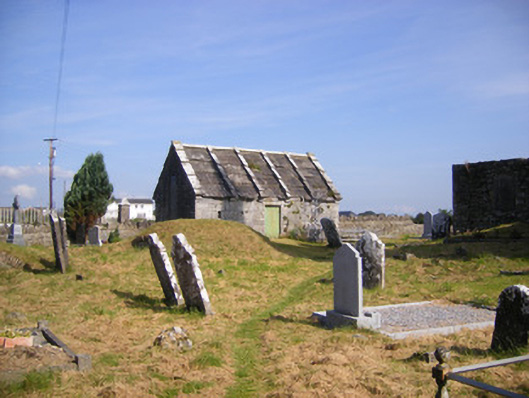 Church of Saint Philip and Saint James (Kilkeedy)mausoleum · 1678 yd
 Grave YardGraveyard · 1712 yd
 kilnkiln · 1.0 mi
 Meelick Ho.House, fortified house · 1.0 mi
 St James's WellSpring · 1.3 mi
 Sailors HaggardMemorial · 1.5 mi
 Muckinish PointHeadland · 2.5 mi
 Grass IslandIslet · 2.8 mi
 Coonagh NatureNature reserve · 2.9 mi
 Maiden RockNamed rock · 3.1 mi