
What is recorded here
In large tillage field, transected at E by townland boundary with Balgaddy. Cropmark of circular-shaped area (diam. c. 29m) defined by the cropmark of a ditch identified on Google Earth orthoimage taken 21/07/2021.
See attached drone aerial image courtesy of Ian Lennon
Compiled by: Caimin O’Brien based on details provided by Ian Lennon
Date of upload: 28 July 2023
The monument record does not grant public access. Check the route and ask the landowner before entering private land.
- What survives
- Recorded monument
Places near here
 Enclosure in Balgaddy (balrothery East By.)Enclosure · 538 yd
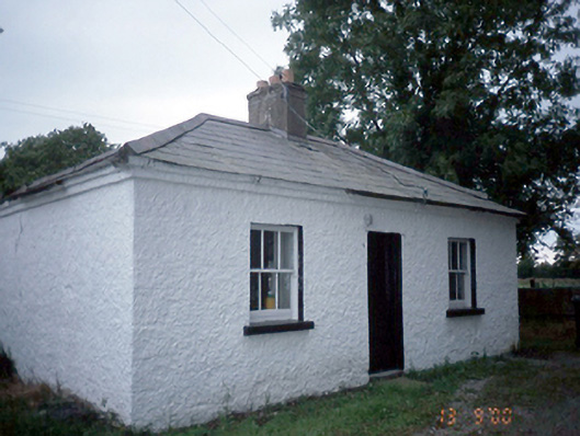 Whitestown Housegate lodge · 742 yd
 Enclosure in TobertownEnclosure · 754 yd
 Old Mill Bridgebridge · 955 yd
 Ballshill PlantingForest · 1.4 mi
 Tullog WoodForest · 1.6 mi
 Bawn in NaulBawn · 1.6 mi
 Clonard SpringSpring · 1.7 mi
 Seamus Ennis Cultural CentreMemorial · 1.7 mi
 Naul Park HouseCastle, unclassified · 1.8 mi
 Bun-na-CnoicMemorial · 1.8 mi
 KnockbrackMountain / peak · 2.1 mi
Other information
Photo: Credit not shown in the picture search · Rights wording not checked; contact us if this picture should be removed