What is recorded here
Possible earthworks visible on aerial photograph (GSIAP R4/32). Not visible at ground level when inspected by ASI in 1987.
Compiled by: Claire Breen
Date of upload: 19 August 2011
The monument record does not grant public access. Check the route and ask the landowner before entering private land.
- What survives
- Recorded monument
Places near here
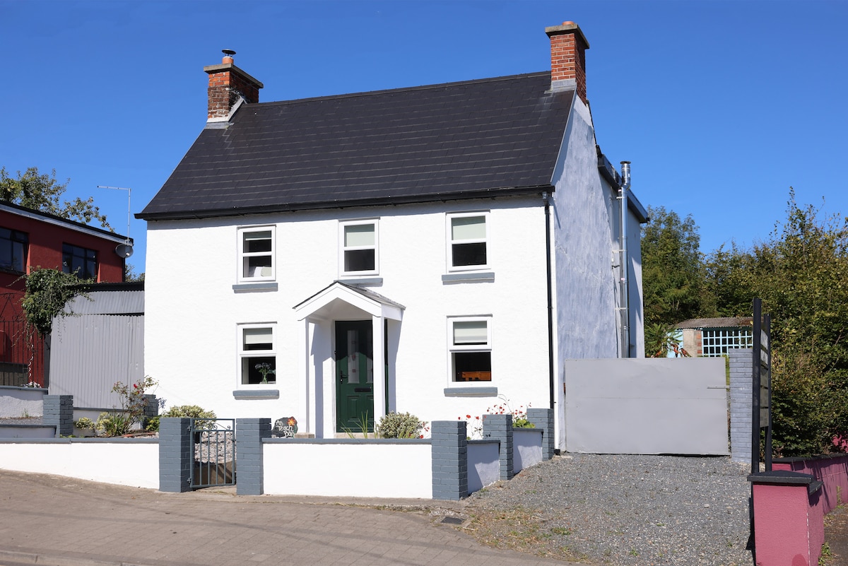 Enclosure in ClosuttonEnclosure · 278 yd
 Clorusk MoatFairy fort / earthen ringfort · 979 yd
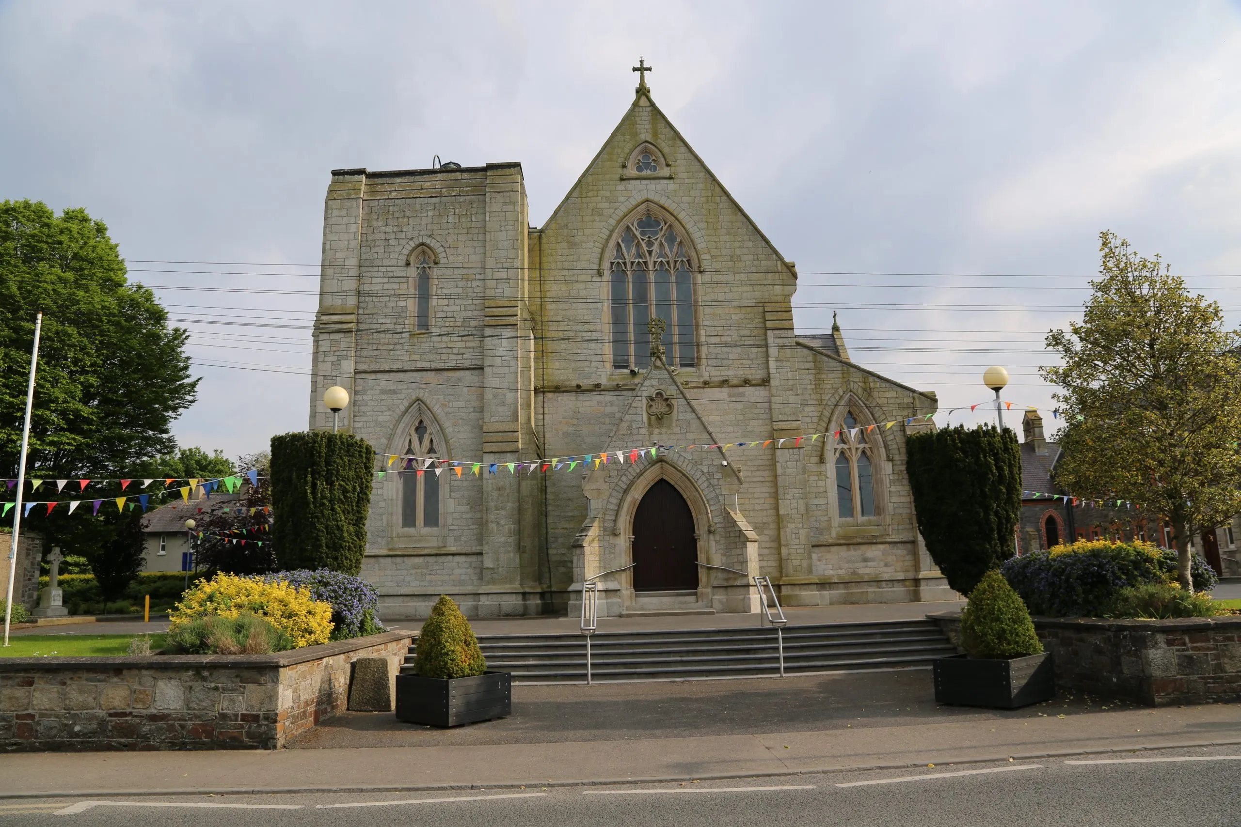 Killinane Church (in ruins)Church · 1515 yd
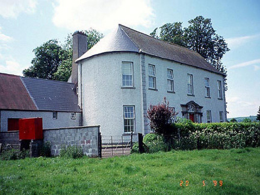 Killinane Househouse · 1628 yd
 Church (in ruins), GraveyardChurch · 1.3 mi
 Lock Keeper's House and Lodge MillsVisitor information · 1.6 mi
 Church, GraveyardChurch · 1.7 mi
 Black Castle (in ruins)Castle, tower house · 2.0 mi
 The Columban WayVisitor information · 2.0 mi
 The Green GardenWood · 2.1 mi
 Sweet ChestnutSweet Chestnut · 2.6 mi
 Dunleckny Ho.Castle, unclassified · 2.7 mi