What is recorded here
Cloghanughera castle still casts a long shadow across the pasture, but the true boundary may be the hidden triangle beneath the grass. Two ridges, one nearly a metre high and the other barely a handshake tall, join a field fence to enclose space no longer visible. They might have marked a kitchen garden, a burial ground or a child’s pretending castle, yet the shape survived every plough and every forgotten owner. The land remembers what people stopped repeating.
In pasture, to E of Cloghanughera castle (14301). Two linear ridges on S side of field fence, one (H c. 0.9m; L 48m) running N-S, second (H 0.35m; L 72.6m) SW-NE; these form triangle with E-W field fence (L 74m).
The above description is derived from the published 'Archaeological Inventory of County Cork. Volume 4: North Cork' (Dublin: Stationery Office, 2000). In certain instances the entries have been revised and updated in the light of recent research.
Date of upload/revision: 14 January 2009
The monument record does not grant public access. Check the route and ask the landowner before entering private land.
- What survives
- Recorded monument
Places near here
 Cloch an Othara HouseHouse, vernacular house · 461 yd
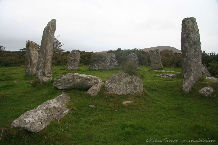 BarrowBarrow, ring-barrow · 792 yd
 LissareeFairy fort / earthen ringfort · 889 yd
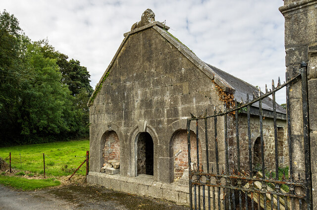 Milltown Castledemesne walls/gates/railings · 1254 yd
 TumulusCastle, motte · 1.2 mi
 CastleCastle, motte · 2.2 mi
 Holy Cross CemeteryGraveyard · 3.2 mi
 Windmill HillMountain / peak · 3.5 mi
 Ballyhoura WayWalking route · 4.1 mi
 CarrigeenMountain / peak · 5.5 mi
 Battle of LiscarrollMajor battlefield · 5.6 mi
 Saint Derivla's WellSpring · 5.6 mi