What is recorded here
In low-lying marshy pasture. Site depicted as roughly circular (diam c. 50m) embanked enclosure on 1841 OS 6-inch map is now evident as ovoid area (c. 67m N-S; c. 41m E-W) which rises gently up towards centre (max. H c. 1.5m); no trace of any enclosing element.
Compiled by: Denis Power
Date of upload: 26 August 2011
The monument record does not grant public access. Check the route and ask the landowner before entering private land.
- What survives
- Recorded monument
Places near here
 Castletown Garda Síochána Stationgarda station/constabulary barracks · 735 yd
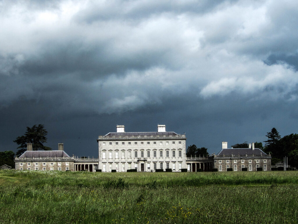 Enclosure in Castletown (connello Upper By.)Enclosure · 838 yd
 Church (in ruins)Church · 982 yd
 Our Lady's WellSpring · 1157 yd
 Castle (in ruins)Castle, hall-house · 1157 yd
 IndicatedCastle, motte · 1185 yd
 Saint Derivla's WellSpring · 1.1 mi
 KnockfeerinaMountain / peak · 3.6 mi
 Famine stoneMemorial · 3.8 mi
 National Co-op MuseumMuseum · 7.1 mi
 European ashEuropean ash · 7.8 mi