What is recorded here
No visible surface remains of earthwork depicted on Larkin's map of County Westmeath dating from 1808 (SMR File).
Compiled by: Caimin O’Brien
Date of upload: 25 July 2013
The monument record does not grant public access. Check the route and ask the landowner before entering private land.
- What survives
- Recorded monument
Places near here
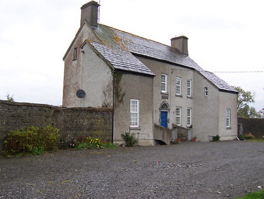 West Househouse · 616 yd
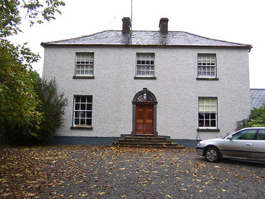 Far View Househouse · 681 yd
 Enclosure in Castlelost WestEnclosure · 1096 yd
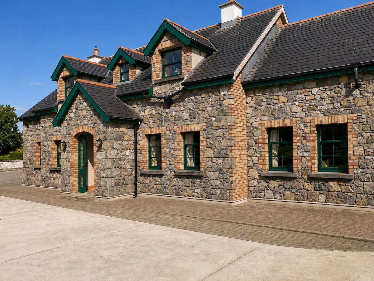 Partially HachuredFairy fort / earthen ringfort · 1101 yd
 Castlelost MoatCastle, motte and bailey · 1471 yd
 CastleCastle, unclassified · 1502 yd
 Derrygreenagh HillMountain / peak · 3.7 mi
 Knockdrin HillMountain / peak · 4.7 mi
 Dysart IslandIsland · 4.9 mi
 Croghan HillMountain / peak · 5.2 mi
 Ash IslandIslet · 5.2 mi
 Finnrenashark Holy WellSpring · 5.4 mi