What is recorded here
In improved wet pasture, liable to floods, on the N side of the Mahore River. Identified as one of two earthworks (LI032-168/169----) by Westropp (1922, 71) which he described as follows: ‘Two rather large defaced earthworks beside the Mahore……on a gently rising ground, at Castle Farm, to the north of Hospital’. The precise location of this earthwork cannot be confirmed as no earthwork is visible in this general area on aerial images.
Compiled by: Alison McQueen and Vera Rahilly
Date of upload: 10 November 2020
The monument record does not grant public access. Check the route and ask the landowner before entering private land.
- What survives
- Recorded monument
Places near here
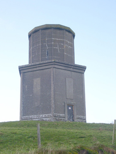 water towerwater tower · 429 yd
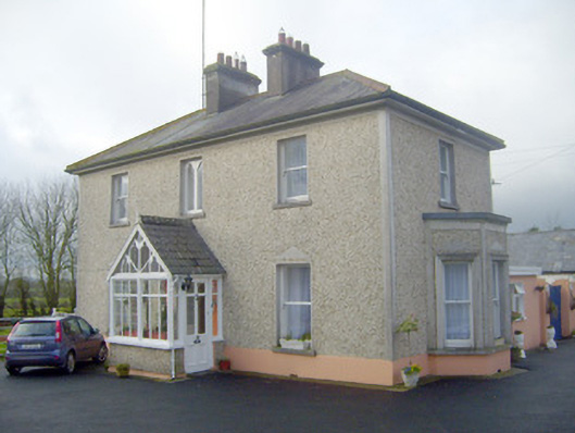 The Villahouse · 501 yd
 BarrowBarrow, ring-barrow · 529 yd
 St Johns Well (Site of)Holy well · 977 yd
 Ballynamona Castle (Site of)Castle, unclassified · 1.3 mi
 Flat cemetery in Knockainy WestFlat cemetery · 1.3 mi
 Desmond Castle (in ruins)Castle, unclassified · 1.7 mi
 KnockainyMountain / peak · 1.9 mi
 Kilteely HillMountain / peak · 2.7 mi
 St. Patrick's WellSpring · 3.1 mi
 St Patrick's WellSpring · 4.0 mi
 Ballinvreena LoopVisitor information · 6.5 mi