What is recorded here
In good pasture, located on a rise with excellent views to SW–N over rolling grassland, and an upland ridge to NE.
This enigmatic monument is not shown on the 1838 and 1920 OS 6-inch maps, although the Man-made underground passage (MA091-001002) it contains is indicated on the 1920 edition as ‘Cave’. It consists of a natural hillock which appears to have been scarped and modified, creating a tiered effect of a mound on top of a platform.
The base of the hillock forms a roughly circular platform (c. 55m NW-SE; c. 55.2m NE–SW) defined by a substantial scarp (H 2m at NW, 1.2m at SE). The platform is topped by an ovoid or leaf-shaped mound (32m NW–SE; 29.8m NE–SW; H 2.2m at NW, c. 2m at SE) with a level roughly oval top (10.8m NW–SE; 7.5m NE–SW) from which the sides fall steeply and broadly. The S slope is somewhat gentler and more ramp-like, and provides the easiest access to the top. The mound more or less occupies the centre of the platform, leaving a berm or terrace (W 11-14m) of clear space enclosing its base at NW–SE. The berm does not extend around the W side –here the mound is more broadly slumped expanding as far as the outer edge of the platform. This elongated W slope is where the Man-made underground passage (MA091-001002-) is inserted into the mound.
A slumped section (Wth 6m) of the platform scarp at the NW may be the site of the entrance.
Extending for c. 35m to NNW from this point there is a lower narrow elongation (Wth 8-10m) of the hillock, with a steep slope (H 2m) on the N side. This provides a natural routeway to the platform berm. At the NE of the platform a depression (Wth 4-6m), possibly a fosse, separates the platform from adjacent naturally rising ground. There is no evidence of an encircling fosse elsewhere.
There are a number of grassed-over sand pits in the vicinity of the monument, including two roughly circular, grassy depressions (max. dim. 15m & 6m) abutting the platform scarp at S–SE.
This is an unusual monument. When the Man-made underground passage was constructed, the mound may have been a form of rath, with the relatively small space at top used for habitation. Another possibility is that it is a prehistoric mound that was reused in the early historic period. It was first recorded by Knox (1911 221-2) who considered that it might be interpreted as ‘a very rough Norman motte and bailey’, if it were not for the presence of the Man-made underground passage.
Compiled by: Jane O’Shaughnessy
Date of upload: 11 February 2022
The monument record does not grant public access. Check the route and ask the landowner before entering private land.
- What survives
- Recorded monument
Places near here
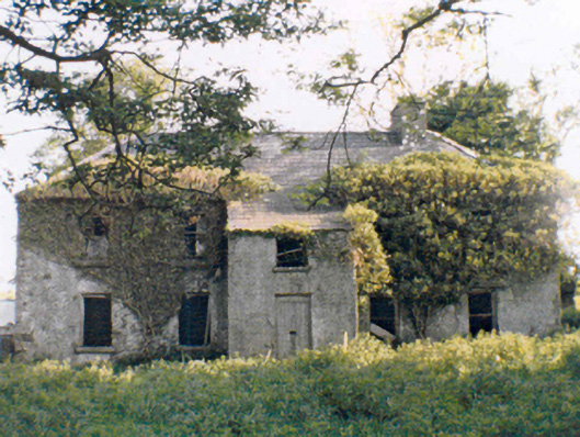 Rockstownfarm house · 1.1 mi
 IndicatedFairy fort / earthen ringfort · 1.1 mi
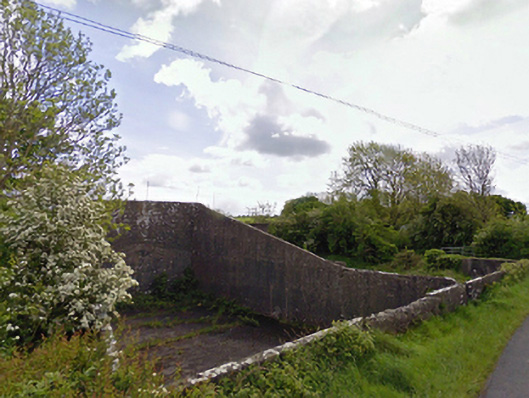 handball alleyhandball alley · 1.5 mi
 Round TowerRound tower · 1.6 mi
 CastleCastle, ringwork · 2.2 mi
 CashlankeeghCastle, unclassified · 2.6 mi
 Carrowbeg WoodWood · 2.7 mi
 I'll Send You The FareMemorial · 4.8 mi
 Kiltimagh MuseumMuseum · 4.9 mi
 Knock ShrineHeritage attraction · 7.2 mi
 Thorn CaveCave · 7.7 mi
 Geoffrey's WoodForest · 9.3 mi