What is recorded here
Beside a stream in low-lying flat marshy terrain. Marked on 3rd ed. of OS 6-inch map (1932) as a small mound (D c. 15m) in an area dotted with hollows. What is visible are a number of low grassed-over mound-like features, possibly natural hummocks or 'eskers' (Topgr. Files, OPW). That shown on OS 6-inch map is a slightly raised circular area (D 25m).
The above description is derived from the published 'Archaeological Inventory of County Galway Vol. II - North Galway'. Compiled by Olive Alcock, Kathy de hÓra and Paul Gosling (Dublin: Stationery Office, 1999).
Date of upload: 05 August 2010
The monument record does not grant public access. Check the route and ask the landowner before entering private land.
- What survives
- Recorded monument
Places near here
 Enclosure in CarrowculleenEnclosure · 491 yd
 Mill FortArchaeological place · 1329 yd
 Site of Doonbally CastleCastle, unclassified · 1.8 mi
 Brownnsgrove Housedemesne walls/gates/railings · 2.0 mi
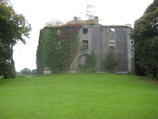 Dunmore Housecountry house · 2.1 mi
 Dunmore CastleCastle · 2.4 mi
 European ashEuropean ash · 6.0 mi
 Mass RockNamed rock · 7.8 mi
 KnockmaaWood · 11 mi
 Enclosure in Carrowrevagh MoreEnclosure · 1.3 mi
 Enclosure in KilnaslieveEnclosure · 1.4 mi
 Cloonagh FortHilltop enclosure · 1.5 mi