What is recorded here
On a steep WNW-facing slope, in pasture with excellent views from SW-W-N-NE and restricted elsewhere by Knockouragh Hill. Monument is 115m SE of a townland boundary with Moanduff. Depicted on the 1897 ed. OSi 25-inch map as a roughly oval-shaped depression (21.5m N-S; 15m E-W) which may be the remains of an old quarry of post-1700 date. No monument depicted at this location on the 1840 ed. OSi 6-inch map. Farm trackway built along boundary to E. Possible monument surveyed by the ASI in 1999 and described as no surface remains visible. Earthwork visible as a faint oval-shaped cropmark on OSi orthophoto taken 2005-2012 and on Google Earth orthoimage taken 11/03/2014. Of doubtful antiquity.
See attached Google Earth orthoimage taken 11/03/2011
Compiled by: Alison McQueen and Vera Rahilly
Date of upload: 17 October 2020
The monument record does not grant public access. Check the route and ask the landowner before entering private land.
- What survives
- Recorded monument
Places near here
 Enclosure in Carrig BegEnclosure · 739 yd
 Castletown Church (in ruins)Church · 839 yd
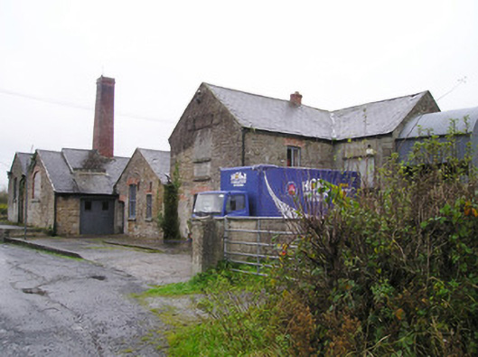 Castletown Creamerycreamery, chimney · 1024 yd
 Coonagh CastleCastle · 1064 yd
 BarrowBarrow, ditch barrow · 1070 yd
 Longford Castle (in ruins)Castle, unclassified · 1.7 mi
 GortnageraghMountain / peak · 3.3 mi
 Oola HillMountain / peak · 3.4 mi
 ToberagaddySpring · 3.5 mi
 Soloheadbeg Ambushambush · 5.4 mi
 Soloheadbeg Ambush SiteMemorial · 5.8 mi
 St. Patrick's WellSpring · 7.3 mi