What is recorded here
On the summit of an E-W ridge of rock outcrop. Visible as a small circular feature on aerial photographs (GSIAP, G371-70). Grass-covered circular platform (diam. 19m) defined by a scarp (H c. 2.3m), with a depression (diam. 2m; D 0.3m) at the centre. It is possibly a natural feature.
The above description is derived from 'The Archaeological Inventory of County Leitrim' compiled by Michael J. Moore (Dublin: Stationery Office, 2003). In certain instances the entries have been revised and updated in the light of recent research.
Date of upload: 23 September 2008
The monument record does not grant public access. Check the route and ask the landowner before entering private land.
- What survives
- Recorded monument
Places near here
 CashelFairy fort / stone ringfort · 148 yd
 Teampul ShetricPenal Mass station · 632 yd
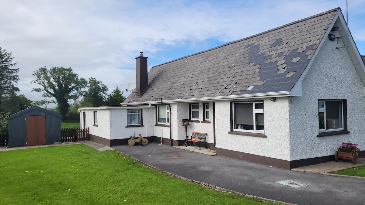 Sweathouse in GorteenaguinnellSweathouse · 938 yd
 Castle CarCastle · 1.6 mi
 Penal Mass station in GortnagarnPenal Mass station · 2.1 mi
 Longhill WoodForest · 2.5 mi
 Ashisland WoodForest · 2.8 mi
 Keelogyboy Mountain NE TopMountain / peak · 3.0 mi
 Glencar IslandIslet · 3.4 mi
 Keelogyboy MountainMountain / peak · 3.4 mi
 Glencar WaterfallVisitor information · 3.4 mi
 Memorial Francis FinnMemorial · 3.7 mi