What is recorded here
White stone rings still stand in Carhoonakineely, though no map drawn after 1842 acknowledges them. The fort may have been a boundary marker, a wedding place or a warning to passing carts. Its absence from later charts does not remove it from the hill; it only stops official men from arguing about the shape of the sky.
Cahergal/Cathair Gheal (white stone fort). This circular enclosure is marked on the 1841-42 OS map as Cahergal. It does not appear on the later edition and no surface trace survives today.
The above description is derived from C. Toal, ‘North Kerry Archaeological Survey’. Dingle. Brandon in association with FAS Training and Employment Authority (1995), no. 798. In certain instances the entries have been revised and updated in the light of recent research.
Date of upload: 2 August 2013
The monument record does not grant public access. Check the route and ask the landowner before entering private land.
- What survives
- Recorded monument
Places near here
 Kilnaughtin Church (in ruins)Church · 1379 yd
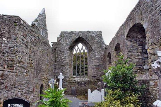 Enclosure in LislaughtinEnclosure · 2.1 mi
 Ballymacrinan BayBay · 2.2 mi
 Fulacht fia in CarhoonaFulacht fia · 2.2 mi
 Lislaughtin Abbey (in ruins)Religious house, Franciscan friars · 2.3 mi
 Carrigafoyle CastleCastle · 2.7 mi
 Carrigafoyle Cas. (in ruins)Castle, tower house · 2.7 mi
 Siege of Carrigafoyle Castlesiege · 2.8 mi
 Carrig IslandIsland · 2.8 mi
 Tarbet BayBay · 3.1 mi
 St Senan's WellSpring · 3.7 mi
 Scattery Island Visitor CentreVisitor information · 4.2 mi