What is recorded here
Unrecorded earthwork identified by Johnny Ryan, Archaeologist, Forestry Inspectorate (Forest Service), Department of Agriculture, Food and the Marine that was reported to the NMS on 23/09/2024. A large sub-circular earthwork (c. 100m NW-SE x 70m NE-SW) defined by a cropmark is visible on Google Earth aerial imagery dated 02/04/2013 and 18/03/2009 and also on aerial imagery dated 2011-2013 MapGenie Digital Globe. Earthwork is no longer visible as this area has now been planted with forestry which is visible on Google Earth aerial imagery dated 24/03/2017. The forest plantation has not undergone any previous thinning works and so a field inspection of this area was deemed to be futile at this time, however, it is planned to carry out an inspection after the first thinning.
Compiled by: Caimin O’Brien based on detail provided by Johnny Ryan
Date of Compilation: 10 November 2025
The monument record does not grant public access. Check the route and ask the landowner before entering private land.
- What survives
- Recorded monument
Places near here
 Man-made underground passage in Calliaghstown (rathconrath By.)Man-made underground passage · 1192 yd
 OutlinedFairy fort / earthen ringfort · 1434 yd
 Cloncullen Househouse · 1.1 mi
 Keel Bridgebridge · 1.3 mi
 Shinglis CourtCastle, unclassified · 1.5 mi
 Corran IslandIslet · 2.1 mi
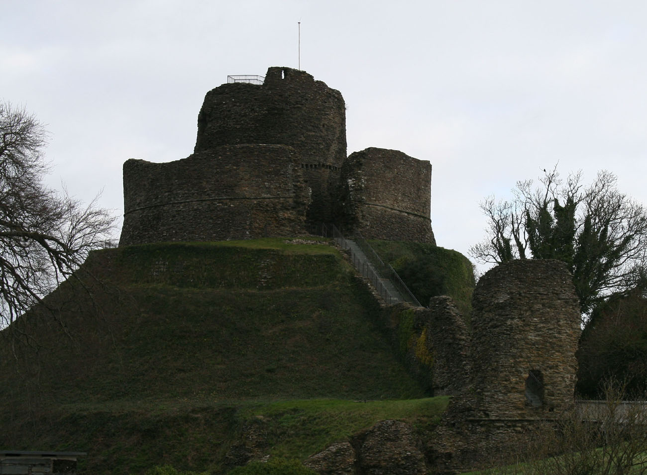 CastleCastle, motte and bailey · 2.3 mi
 Noughaval CemeteryArchaeological place · 2.7 mi
 Guest ServicesVisitor information · 2.8 mi
 Craft WorkshopHeritage attraction · 2.8 mi
 Target WoodWood · 3.3 mi
 European BeechEuropean Beech · 3.3 mi