What is recorded here
Situated on flat pasture in undulating countryside. Depicted as a small irregular-shaped earthwork, possibly indicated as a quarry face on the 1840 ed. OS 6-inch map, not indicated on subsequent editions of the OS 6-inch maps. Not visible at ground level.
The above description is derived from 'The Archaeological Inventory of County Tipperary. Vol. 1 - North Tipperary' compiled by Jean Farrelly and Caimin O'Brien (Dublin: Stationery Office, 2002). In certain instances the entries have been revised and updated in the light of recent research.
Date of upload/revision: 16 January 2012
The monument record does not grant public access. Check the route and ask the landowner before entering private land.
- What survives
- Recorded monument
Places near here
 Hut site in BenedinHut site · 837 yd
 Site of Bawn CastleCastle, unclassified · 1117 yd
 Enclosure in Ballycahill (kilmore Par., North Riding)Enclosure · 1541 yd
 Ballycahill Castle (in ruins)Castle, unclassified · 1.1 mi
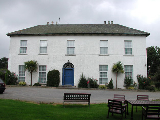 Tyone Housemill manager's house · 1.3 mi
 ShannacloghRuins · 1.3 mi
 Nenagh Heritage CentreMuseum · 1.8 mi
 Old BarracksHeritage attraction · 2.0 mi
 Gibbet HillMountain / peak · 2.1 mi
 Sweet ChestnutSweet Chestnut · 3.0 mi
 Our Lady Assumed into HeavenMemorial · 3.4 mi
 The MinerMemorial · 3.4 mi