What is recorded here
In pasture, on top of a low hill, 200m SE of the townland boundary with Bohernacore. Not depicted on OSi historic maps. Identified as an enclosure by the ASI in 2013 on examination of OSi aerial photographs. Visible as a circular-shaped area (diam c. 42m) defined by a fosse on Google Earth orthoimages where it is bisected by road running E-W.
See attached Google Earth orthoimages.
Compiled by: Martin Fitzpatrick
Date of upload: 1 December 2021
The monument record does not grant public access. Check the route and ask the landowner before entering private land.
- What survives
- Recorded monument
Places near here
 Raheen, hachuredFairy fort / earthen ringfort · 1116 yd
 Enclosure in MortlestownEnclosure · 1122 yd
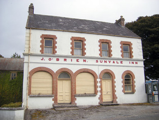 The Sunvale Innhouse · 1.0 mi
 Saint Patrick's Catholic Churchchurch/chapel · 1.1 mi
 St Bridget's WellSpring · 2.0 mi
 Caher HillMountain / peak · 2.6 mi
 Castle PhilipMountain / peak · 2.7 mi
 Ballyhoura tourist informationVisitor information · 2.8 mi
 Castle (in ruins)Castle, tower house · 2.9 mi
 Treada Na Ríogh (The Moat), hachuredCastle, motte · 2.9 mi
 Lady's WellSpring · 3.5 mi
 King John's CastleCastle · 3.6 mi