What is recorded here
New site identified by John Cronin & Associates (JCA) under Licence No. 16E0127 prior to wind farm development in Barnastooka, Kilgarvan, Co. Kerry by ESB Wind Development Ltd. Rectangular platform located on a moderate southeast facing slope to the northwest of T.30 at ITM grid co-ordinate 506461, 571612. The feature is defined by an earthen and stone bank enclosing a slightly raised area measuring 7.8m north to south by 5m. It is situated to the immediate east of a gullied stream and is most likely associated with 18th/19th century agriculture. Similar in morphology to sites such as NICH12, NICH30, NICH34.
See attached photograph courtesy John Cronin.
Compiled by: Caimin O'Brien based on details provided by John Cronin
Date of upload: 7 April 2022
The monument record does not grant public access. Check the route and ask the landowner before entering private land.
- What survives
- Recorded monument
Places near here
 Hut site in BarnastookaHut site · 314 yd
 Structure in Coolnagoppoge (glanarought By., Banawn Ed)Structure · 688 yd
 Carran Far North TopMountain / peak · 1.0 mi
 Carran Far NE TopMountain / peak · 1.3 mi
 Inchee Br.Bridge · 1.6 mi
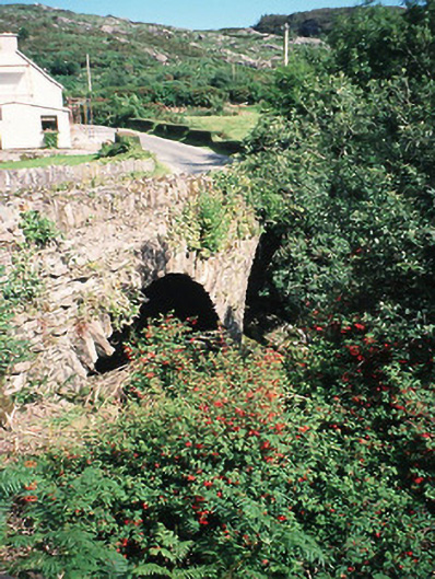 Morley's Bridgebridge · 2.5 mi
 Kilgarvan Motor MuseumMuseum · 3.2 mi
 Battle of Callannbattle · 3.4 mi
 Great Southern & Western RailwayMemorial · 3.7 mi
 European ashEuropean ash · 3.8 mi
 Gougane BarraValley and heritage place · 3.9 mi
 Castle (Site of)Castle, unclassified · 4.9 mi