What is recorded here
In grassland. Outline of circular-shaped earthwork (diam. c. 46m) visible on Google Earth orthoimages.
See attached Google Earth orthophotos
Compiled by: Caimin O'Brien based on details provided by Jean-Charles Caillère
Date of upload: 17 May 2022
The monument record does not grant public access. Check the route and ask the landowner before entering private land.
- What survives
- Recorded monument
Places near here
 Ballyplimoth CastleCastle · 375 yd
 Enclosure in BallynahalliaEnclosure · 567 yd
 Parkalassa FortArchaeological place · 622 yd
 Quarry in GlanlarehanQuarry · 1149 yd
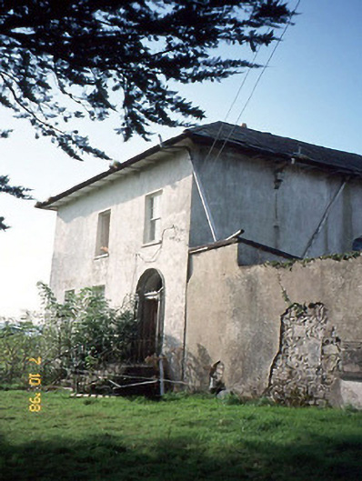 Kilmurry Househouse · 1481 yd
 Ballymacadam Castle (in ruins)Castle, tower house · 1737 yd
 Crag CaveCave · 2.2 mi
 SlievebrickanMountain / peak · 2.8 mi
 KnockateeMountain / peak · 3.0 mi
 PouldermotCave · 9.2 mi
 Nohaval WoodWood · 12 mi
 Kilflynn Nature ReserveNature reserve · 13 mi