What is recorded here
Ballyneety North holds a ghost circle forty-five metres west of the Treamnanagh boundary road, waiting for rain to reveal its edges. The earthwork faces a ringfort eighty-five metres southeast, suggesting two ancient neighbours still talking across improved pasture. It vanished from modern satellite views but resisted forgetting long enough for aerial cameras to catch its shadow.
In improved pasture 45m W of roadway that marks townland boundary with Treamnanagh. Ringfort (LI033-038----) lies 85m to SE. Not depicted on the historic OSi maps. Identified by Bruff aerial photographic survey in 1986 (Bruff 77; AP 4/3626) as an earthwork. Visible as a roughly circular-shaped area of dark vegetation on OSi orthophoto taken between 2005-12. No surface remains visible on Google Earth orthoimage dated 18/11/2018.
See attached Google Earth orthoimages and Bruff image showing monument labelled Bruff 77
Compiled by: Martin Fitzpatrick
Date of upload: 12 April 2021
The monument record does not grant public access. Check the route and ask the landowner before entering private land.
- What survives
- Recorded monument
Places near here
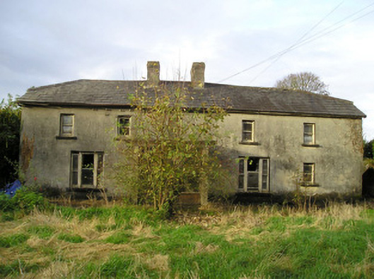 Derk Cottagehouse · 221 yd
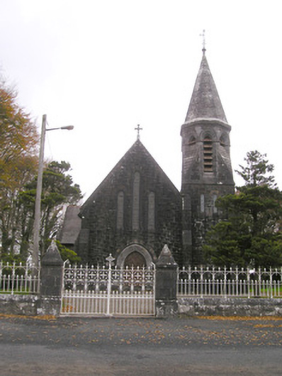 Saint Brigid's Catholic Churchchurch/chapel · 784 yd
 Site of Ballyneety CastleCastle, unclassified · 814 yd
 Field system in DerkField system · 970 yd
 Grave YardGraveyard · 973 yd
 RathardCastle, ringwork · 1.0 mi
 St. Patrick's WellSpring · 2.9 mi
 Kilteely HillMountain / peak · 3.0 mi
 KnockseefinMountain / peak · 3.1 mi
 Flat cemetery in Knockainy WestFlat cemetery · 6.3 mi
 St Patrick's WellSpring · 7.1 mi
 Ballinvreena LoopVisitor information · 10 mi