What is recorded here
Ballynamona castle and church stand 230m SE, yet this oval mound holds its own quiet claim. Rock outcrop still protrudes through the pasture, witness to hands that shaped soil long before maps learned its name. The Bruff aerial survey caught its shadow in 1986, but people likely walked past it for generations, reading life in its curves rather than coordinates.
In improved pasture, 50m W of a public road, 100m W of the Ballynamona River and 385m NE of a townland boundary with Gortacloona. Ballynamona castle (LI032-095001-) and church (LI032-095002-) lie 230m to SE. Not depicted on OSi historic maps, although area is shown as rock outcrop on the revised 1897 ed. OSi 25-inch map. Monument identified by the Bruff aerial photographic survey in 1986 (Bruff 229: AP 5/2017) as a poorly defined, roughly oval-shaped cropmark to the immediate E of a field boundary running roughly N-S. Possible monument is visible as an oval-shaped mound (38m NW-SE; 26m NE-SW) with rock outcrop clearly visible protruding from the surface, as seen on OSi orthoimage taken 2005-2012, on Digital Globe orthoimage taken 2011-2013 and on Google Earth orthoimage 28/06/2018.
See attached Google Earth orthoimage taken 25/03/2017 and Bruff aerial survey image labelled 229
Compiled by: Alison McQueen and Vera Rahilly
Date of upload: 22 November 2020
The monument record does not grant public access. Check the route and ask the landowner before entering private land.
- What survives
- Recorded monument
Places near here
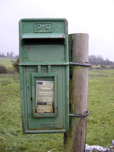 post boxpost box · 161 yd
 Ballynamona Castle (Site of)Castle, unclassified · 319 yd
 Ballynamona Church (in ruins)Church · 345 yd
 Enclosure in Ballynamona (smallcounty By., Hospital Ed)Enclosure · 430 yd
 BarrowBarrow, unclassified · 490 yd
 Bawn in Ballinscoola (smallcounty By., Cahercorney Ed)Bawn · 1.1 mi
 KnockainyMountain / peak · 1.7 mi
 Flat cemetery in Knockainy WestFlat cemetery · 1.9 mi
 Kilteely HillMountain / peak · 2.7 mi
 St. Patrick's WellSpring · 3.0 mi
 St Patrick's WellSpring · 5.3 mi
 Carn (site of)Cairn, burial cairn · 6.5 mi