What is recorded here
In reclaimed pasture 150m NW of the townland boundary with Lissard. Depicted on the 1897 ed. OSi 25-inch map as a raised circular-shaped platform (diam. c. 15m) truncated at N by a field boundary running E-W. Barry (1981, 84) listed the monument as a possible moated site no. 7. Outline of shrub-covered monument visible on Google Earth orthoimages.
See attached Google Earth orthoimages.
Compiled by: Martin Fitzpatrick
Date of upload: 14 July 2021
The monument record does not grant public access. Check the route and ask the landowner before entering private land.
- What survives
- Recorded monument
Places near here
 Enclosure in Ballynamona (coshlea By.)Enclosure · 603 yd
 Partially indicatedFulacht fia · 840 yd
 Partially hachuredQuarry · 1698 yd
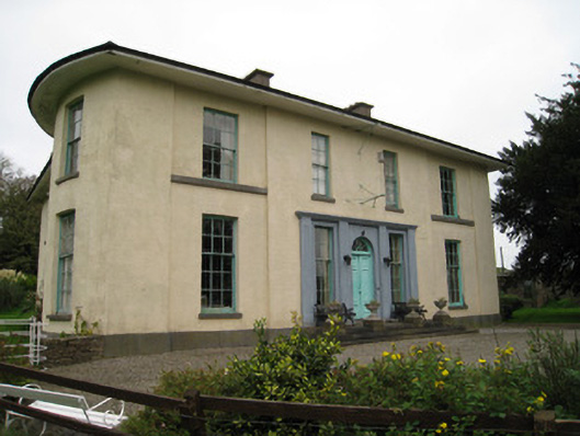 Glenefyhouse · 1.0 mi
 Carn (site of)Cairn, burial cairn · 1.1 mi
 Darby's Bed Walk LoopWalking route · 1.1 mi
 Duntryleague HillMountain / peak · 1.2 mi
 Duntryleague - hachuredCastle, ringwork · 1.3 mi
 Ryves CastleCastle, unclassified · 1.4 mi
 Saint Patrick's WellSpring · 2.1 mi
 St Patrick's WellSpring · 3.0 mi
 SlievereaghMountain / peak · 4.1 mi